Transport Functions
Port
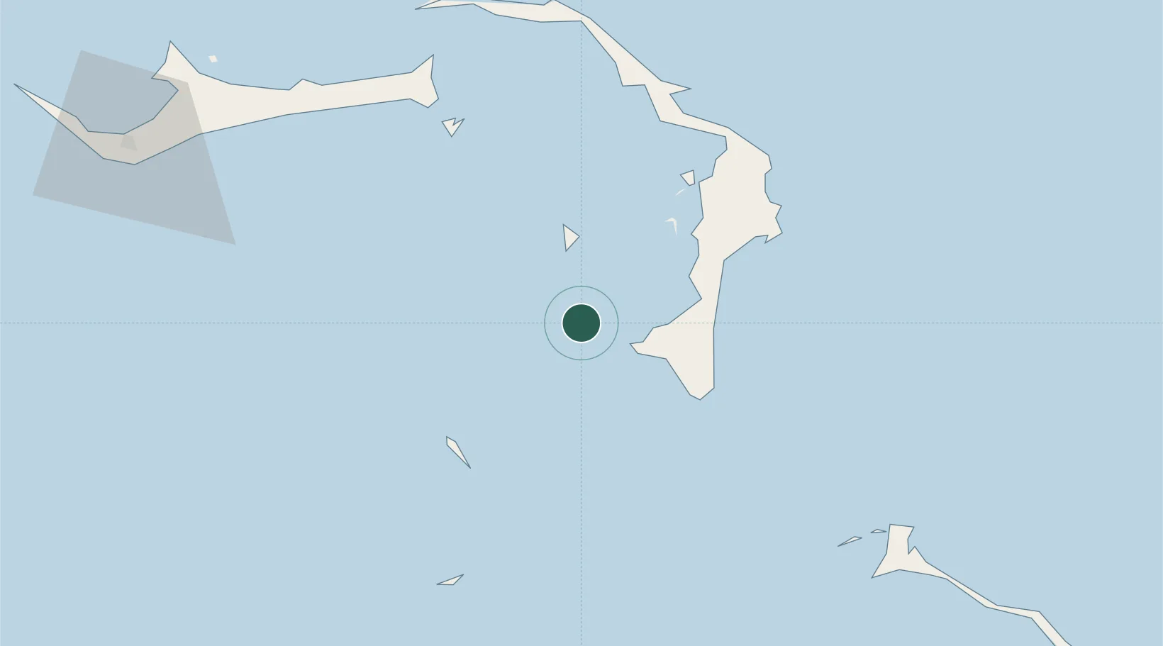
Location
Nearby Logistics Neighbours
Cities
- 1Great Stirrup Cay46 km
- 2Great Harbour Cay48 km
- 3Little Stirrup Cay50 km
- 4Nassau64 km
- 5Marsh Harbour76 km
Ports
- 1South Riding Point90 km
- 2Nassau113 km
- 3Clifton Pier121 km
- 4Freeport134 km
- 5Port Everglades258 km
Airports
Trade Zones
- 1Freeport Bahamas123 km
- 2Grand Bahama International Airport127 km
- 3FTZ No. 025 Broward County259 km
- 4FTZ No. 135 Palm Beach County262 km
- 5FTZ No. 241 Fort Lauderdale264 km
DatabookThe Record of Consolidated Knowledge
Bahamas beyond logistics?