Medium airport · Bahamas
Leonard M. Thompson International AirportMYAM
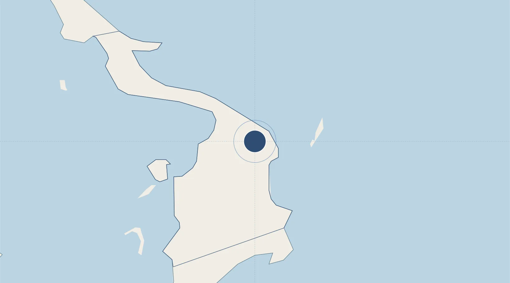
26.5107°, -77.0843°
6,100 ft
Longest runway
1
Runways
6 ft
Elevation
Runway & Layout

Radio Frequencies
TWR
118.6 MHz
Tower
GND
124.6 MHz
Ground
APP
126.5 MHz
FREEPORT APP
RDO
124.2 MHz
Nassau Radio (Secondary)
RDO
128 MHz
Nassau Radio
UNIC
122.8 MHz
UNICOM
Navaids
ZMH NDB Marsh Harbour 361 kHz
Runways · 1
| Runway | Dimensions | Surface | True heading | Lit |
|---|---|---|---|---|
| 09/27 | 6,100 × 100ft | Asphalt | 088° | ✓ |
Airport Specifications
IATA code
MHH
ICAO code
MYAM
Airport class
Medium airport
Scheduled service
Yes
Runway surface
Asphalt
Served city
Marsh Harbour
Location
Nearby Logistics Neighbours
Airports
- 1Treasure Cay Airport40 km
- 2Great Harbour Cay Airport114 km
- 3North Eleuthera Airport122 km
- 4Chub Cay Airport145 km
- 5Governor's Harbour Airport156 km
Cities
- 1Marsh Harbour12 km
- 2Green Turtle Cay36 km
- 3Gorda Cay65 km
- 4Nassau106 km
- 5Great Stirrup Cay111 km
Ports
- 1South Riding Point113 km
- 2Nassau161 km
- 3Freeport169 km
- 4Clifton Pier174 km
- 5Palm Beach296 km
Trade Zones
- 1Freeport Bahamas157 km
- 2Grand Bahama International Airport161 km
- 3FTZ No. 135 Palm Beach County297 km
- 4FTZ No. 025 Broward County307 km
- 5FTZ No. 241 Fort Lauderdale310 km
DatabookThe Record of Consolidated Knowledge
Bahamas beyond logistics?