Transport Functions
Port
Airport
Hub Profile
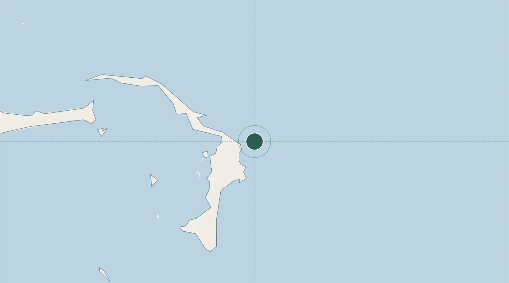
Place type
Regional capital
Region
Central Abaco
Population
5,314
Time zone
America/Nassau
Elevation
4 m
Location
Nearby Logistics Neighbours
Cities
- 1Green Turtle Cay44 km
- 2Gorda Cay76 km
- 3Nassau111 km
- 4Harbour Island120 km
- 5Harbour Island120 km
Ports
- 1South Riding Point125 km
- 2Nassau166 km
- 3Clifton Pier180 km
- 4Freeport181 km
- 5Palm Beach308 km
Airports
Trade Zones
- 1Freeport Bahamas169 km
- 2Grand Bahama International Airport172 km
- 3FTZ No. 135 Palm Beach County308 km
- 4FTZ No. 025 Broward County319 km
- 5FTZ No. 241 Fort Lauderdale322 km
DatabookThe Record of Consolidated Knowledge
Bahamas beyond logistics?