Transport Functions
Port
Road
Airport
Hub Profile
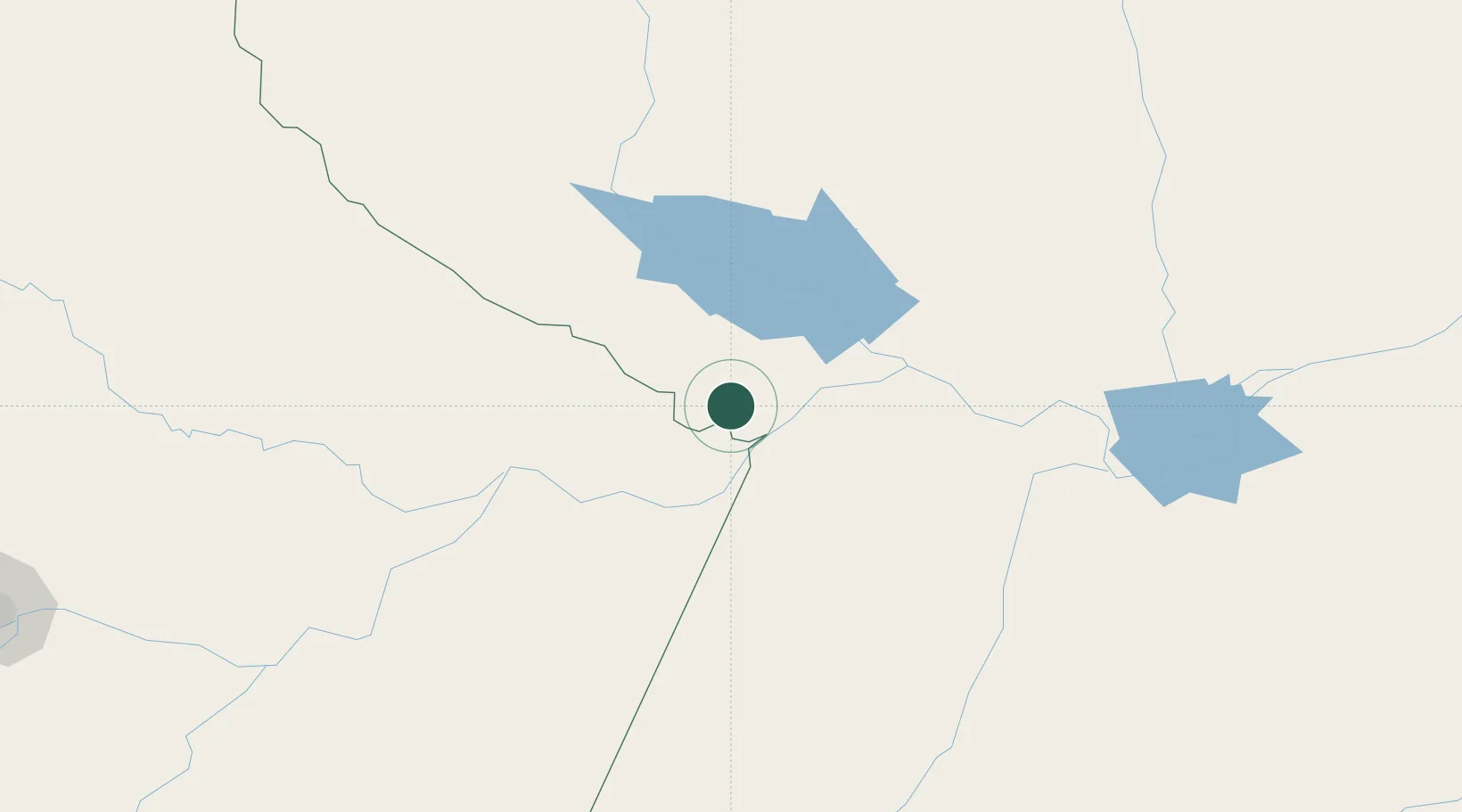
Place type
Populated place
Region
Pará
Population
18,782
Time zone
America/Santarem
Elevation
21 m
Location
Nearby Logistics Neighbours
Cities
- 1Nhamundá28 km
- 2Juruti45 km
- 3Parintins64 km
- 4Porto Trombetas / Oriximiná71 km
- 5Oriximiná80 km
Ports
- 1Santarem199 km
- 2Itacoatiara248 km
- 3Manaus409 km
- 4Porto Santana632 km
- 5Cameta776 km
Airports
Trade Zones
DatabookThe Record of Consolidated Knowledge
Brazil beyond logistics?