Transport Functions
Port
Road
Hub Profile
Place type
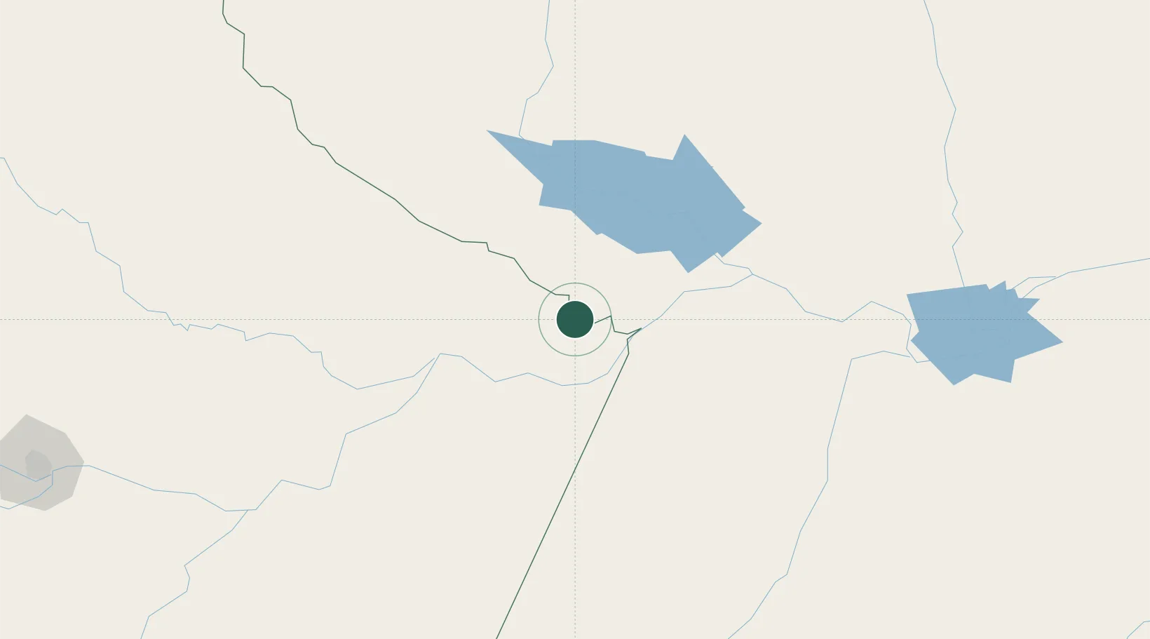
Populated place
Region
Amazonas
Population
21,106
Time zone
America/Santarem
Elevation
1 m
Location
Nearby Logistics Neighbours
Cities
- 1Terra Santa28 km
- 2Parintins48 km
- 3Juruti71 km
- 4Barreirinha77 km
- 5Porto Trombetas / Oriximiná88 km
Ports
- 1Itacoatiara221 km
- 2Santarem224 km
- 3Manaus382 km
- 4Porto Santana659 km
- 5Cameta802 km
Airports
Trade Zones
DatabookThe Record of Consolidated Knowledge
Brazil beyond logistics?