Transport Functions
Port
Road
Airport
Hub Profile
Place type
Populated place
Region
Amazonas
Population
101,956
Time zone
America/Manaus
Elevation
17 m
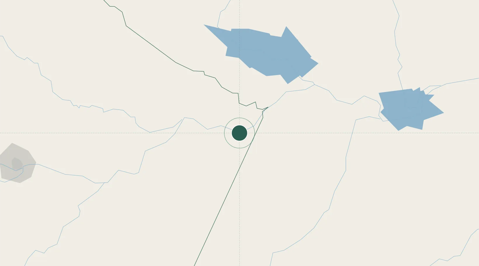
Location
Nearby Logistics Neighbours
Cities
- 1Barreirinha41 km
- 2Nhamundá48 km
- 3Terra Santa64 km
- 4Juruti89 km
- 5Boa Vista do Ramos102 km
Ports
- 1Itacoatiara200 km
- 2Santarem225 km
- 3Manaus369 km
- 4Porto Santana680 km
- 5Cameta805 km
Airports
Trade Zones
DatabookThe Record of Consolidated Knowledge
Brazil beyond logistics?