Transport Functions
Port
Airport
Hub Profile
Region
PA
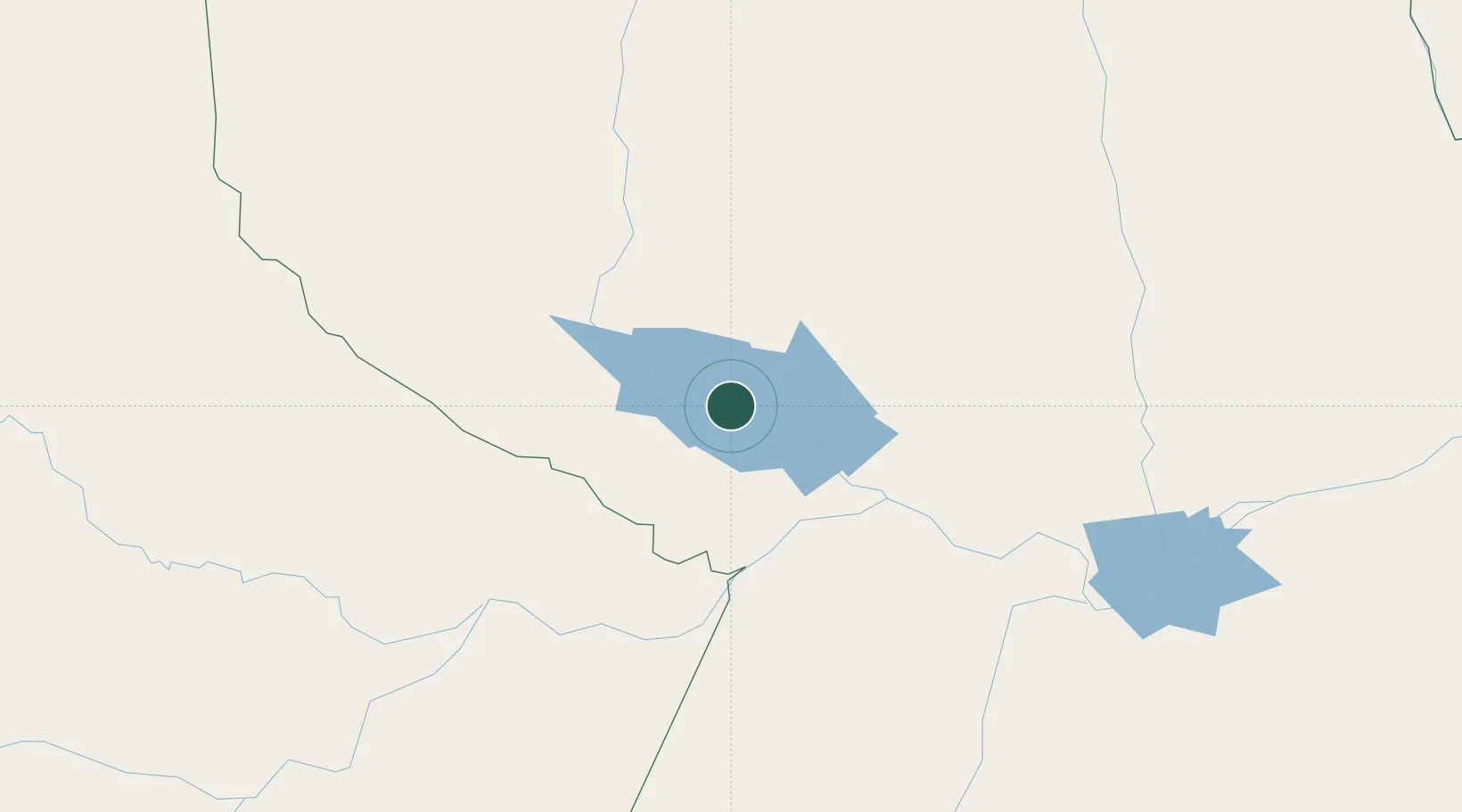
Location
Nearby Logistics Neighbours
Cities
- 1Oriximiná67 km
- 2Terra Santa71 km
- 3Juruti83 km
- 4Nhamundá88 km
- 5Óbidos109 km
Ports
- 1Santarem213 km
- 2Itacoatiara296 km
- 3Manaus444 km
- 4Porto Santana599 km
- 5Cameta770 km
Airports
- 1Trombetas Airport3 km
- 2Santarém - Maestro Wilson Fonseca International Airport206 km
- 3Itacoatiara Airport297 km
- 4Itaituba Airport312 km
- 5Tiriós Airport413 km
Trade Zones
DatabookThe Record of Consolidated Knowledge
Brazil beyond logistics?