Transport Functions
Port
Road
Hub Profile
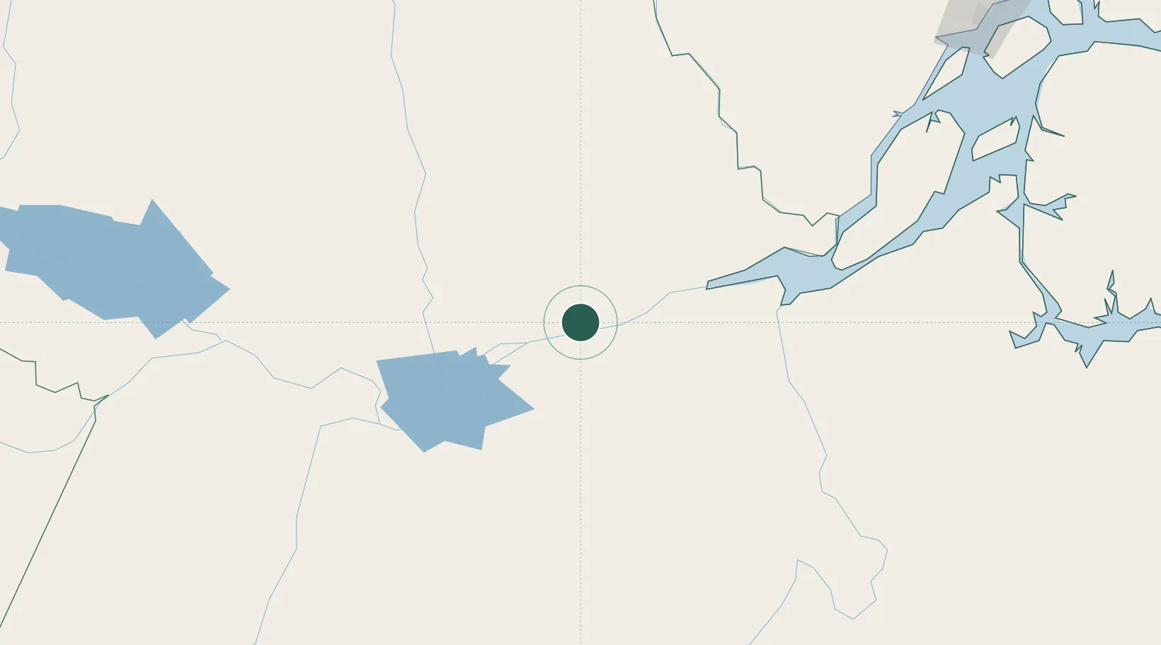
Place type
Populated place
Region
Pará
Population
35,577
Time zone
America/Santarem
Elevation
35 m
Location
Nearby Logistics Neighbours
Cities
- 1Monte Alegre70 km
- 2Almeirim105 km
- 3Porto de Moz137 km
- 4Alenquer142 km
- 5Laranjal do Jari148 km
Ports
- 1Santarem155 km
- 2Porto Santana320 km
- 3Cameta444 km
- 4Vila Do Conde525 km
- 5Belem553 km
Airports
Trade Zones
- 1ZPE de Barcarena (PA)539 km
- 2Zona Franca de Manaus - Suframa (Manaus Free Zone)738 km
- 3ZPE de Araguaína (TO)834 km
- 4Lethem Industrial Estate910 km
- 5ZPE de Boa Vista (RR)954 km
DatabookThe Record of Consolidated Knowledge
Brazil beyond logistics?