Medium airport · Brazil

Monte Dourado - Serra do Areão AirportSBMD
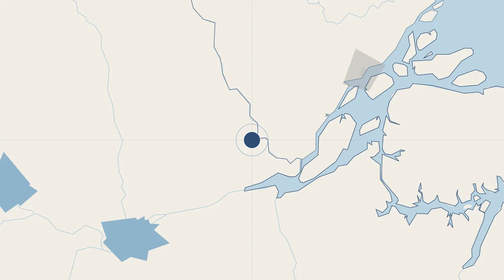
-0.8898°, -52.6022°
5,906 ft
Longest runway
1
Runways
677 ft
Elevation

Runway & Layout

Monte Dourado - Serra do Areão Airport runway & taxiway layout
Runway & taxiway layout — OpenStreetMap (ODbL) / OurAirports

Radio Frequencies

AFIS
125.7 MHz
RDO
OurAirports

Navaids

MDD NDB Dourado 305 kHz
OurAirports

Runways · 1

RunwayDimensions SurfaceTrue headingLit
8/26 5,906 × 98ft Asphalt
OurAirports

Airport Specifications

IATA code
MEU
OurAirports
ICAO code
SBMD
OurAirports
Airport class
Medium airport
OurAirports
Scheduled service
No
OurAirports
Runway surface
Asphalt
OurAirports
Served city
Almeirim
OurAirports

Location

Location of SBMD
Natural Earth 10m (public domain) · Pará · SBMD · -0.89, -52.60GoogleOSMYandex

Nearby Logistics Neighbours

Airports
  1. 1Almeirim Airport66 km
  2. 2Macapá - Alberto Alcolumbre International Airport200 km
  3. 3Breves Airport254 km
  4. 4Altamira Interstate Airport266 km
  5. 5Santarém - Maestro Wilson Fonseca International Airport297 km
Nearest neighbours — logibook spatial index (haversine) over the source coordinates
Cities
  1. 1Laranjal do Jari9 km
  2. 2Almeirim70 km
  3. 3Porto de Moz102 km
  4. 4Gurupá122 km
  5. 5Prainha140 km
Nearest neighbours — logibook spatial index (haversine) over the source coordinates
Ports
  1. 1Porto Santana183 km
  2. 2Santarem290 km
  3. 3Cameta377 km
  4. 4Vila Do Conde435 km
  5. 5Belem460 km
Nearest neighbours — logibook spatial index (haversine) over the source coordinates
Trade Zones
  1. 1ZPE de Barcarena (PA)447 km
  2. 2ZPE de Araguaína (TO)851 km
  3. 3Zona Franca de Manaus - Suframa (Manaus Free Zone)856 km
  4. 4Lethem Industrial Estate931 km
  5. 5ZPE de São Luís938 km
Nearest neighbours — logibook spatial index (haversine) over the source coordinates
DatabookThe Record of Consolidated Knowledge
Brazil beyond logistics?
Browse databook

All Sources

AirportsOurAirports
Public domain
Portsthe NGA World Port Index
Public domain (US gov)
LocationsUN/LOCODE
UN/LOCODE — free
Trade Zonesthe World Bank SEZ database
CC BY 4.0
Trade ZonesOpen Zone Map
CC BY
InfrastructureOpenStreetMap
ODbL 1.0
← Brazil airports