Transport Functions
Port
Road
Hub Profile
Place type
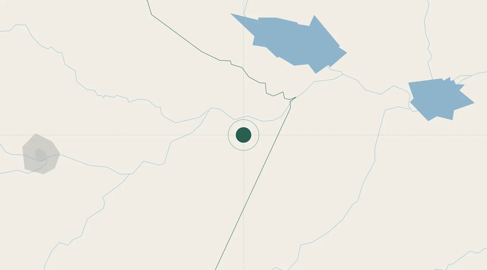
Populated place
Region
Amazonas
Population
33,436
Time zone
America/Manaus
Elevation
13 m
Location
Nearby Logistics Neighbours
Cities
- 1Parintins41 km
- 2Boa Vista do Ramos61 km
- 3Nhamundá77 km
- 4São Sebastião do Uatumã92 km
- 5Maués97 km
Ports
- 1Itacoatiara159 km
- 2Santarem264 km
- 3Manaus330 km
- 4Porto Santana721 km
- 5Cameta843 km
Airports
Trade Zones
DatabookThe Record of Consolidated Knowledge
Brazil beyond logistics?