Transport Functions
Port
Hub Profile
Region
AP
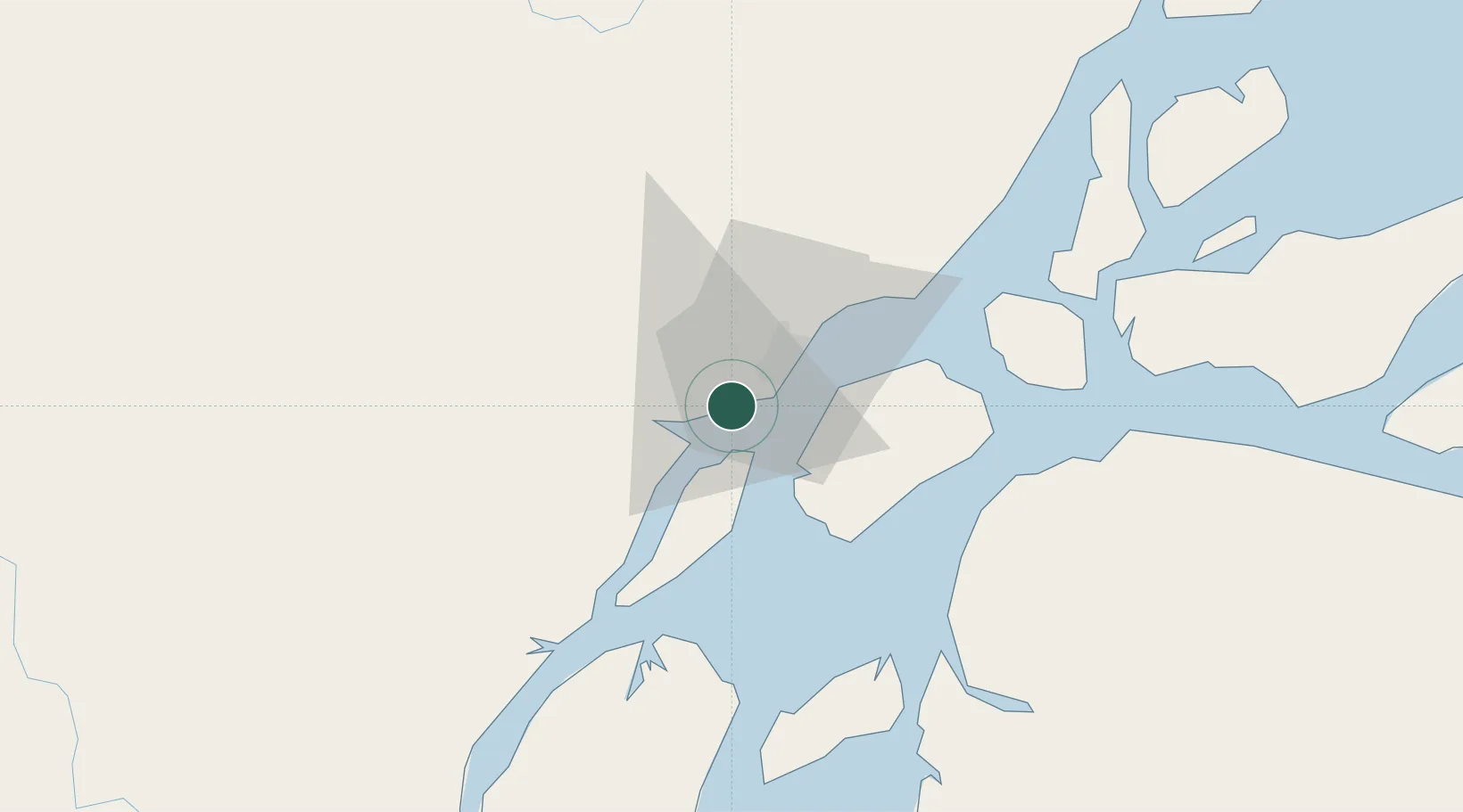
Location
Nearby Logistics Neighbours
Cities
- 1Afuá88 km
- 2Chaves132 km
- 3Gurupá159 km
- 4Laranjal do Jari176 km
- 5Breves198 km
Ports
- 1Porto Santana2 km
- 2Cameta307 km
- 3Vila Do Conde316 km
- 4Belem335 km
- 5Santarem474 km
Airports
Trade Zones
- 1ZPE de Barcarena (PA)326 km
- 2ZPE de São Luís810 km
- 3ZPE de Araguaína (TO)857 km
- 4Lethem Industrial Estate1033 km
- 5Zona Franca de Manaus - Suframa (Manaus Free Zone)1037 km
DatabookThe Record of Consolidated Knowledge
Brazil beyond logistics?