Channel & Berth Profile
Pilotage, Tugs & Services
Pilotage compulsoryYES
Pilotage availableYES
Pilotage advisableYES
Local assistanceYES
Tug assistanceYES
Salvage tugsNO
Shore powerYES
Potable waterYES
Diesel bunkersYES
MedicalYES
Garbage disposalYES
Facilities & Capabilities
Container—
Ro-Ro—
Liquid bulk—
Dry bulk—
Oil terminal—
Break bulk—
Dry dockNO
RepairsNO
BunkeringYES
Rail linkYES
Dangerous cargo—
ISPS security—
Harbour Specifications
Harbour size
Medium
Harbour type
River (Natural)
Shelter
Good
Water body
South Atlantic Ocean
Tidal range
3.3 m
Pilotage
Yes
Liner Connectivity
27.5
PLSCI
Port Liner Shipping Connectivity Index for Belem, as published by UNCTAD for the latest available quarter. Higher values indicate stronger scheduled liner-shipping integration.
Shown relative to the highest per-port PLSCI in the dataset (1,657.9).
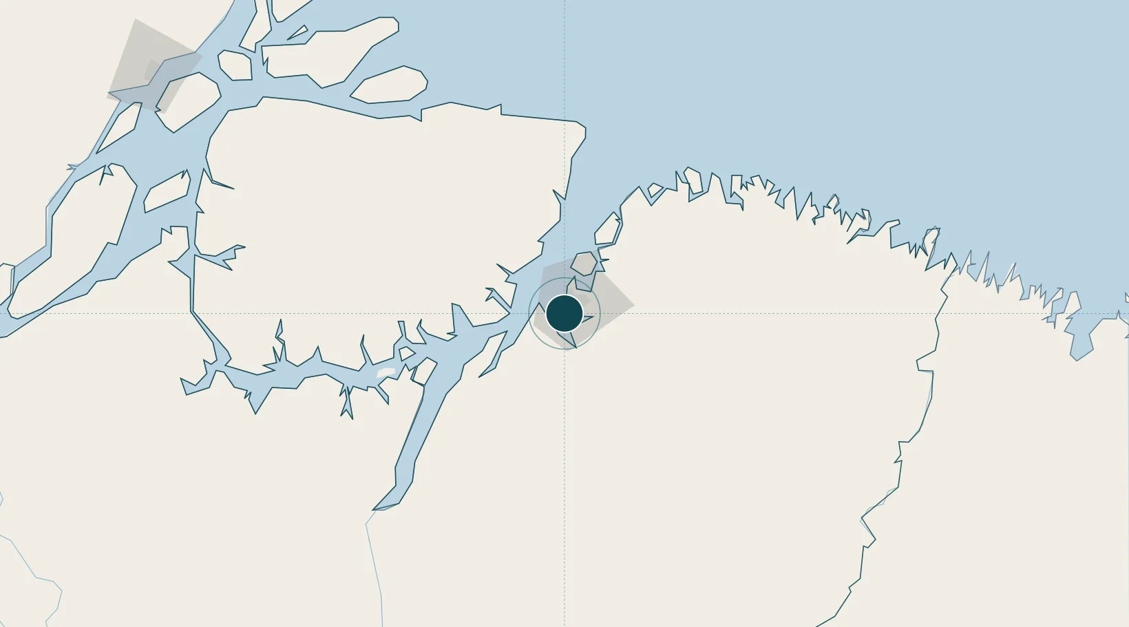
Location
Nearby Logistics Neighbours
Ports
- 1Vila Do Conde30 km
- 2Cameta142 km
- 3Porto Santana337 km
- 4Itaqui476 km
- 5Santarem699 km
Cities
- 1Ananindeua18 km
- 2Vila do Conde Pt / Barcarena30 km
- 3Benevides32 km
- 4Moju57 km
- 5Acará65 km
Airports
- 1Val de Cans/Júlio Cezar Ribeiro International Airport8 km
- 2Salinópolis Airport154 km
- 3Breves Airport217 km
- 4Nagib Demachki Airport219 km
- 5Tucuruí Airport293 km
Trade Zones
- 1ZPE de Barcarena (PA)16 km
- 2ZPE de São Luís480 km
- 3ZPE de Araguaína (TO)638 km
- 4ZPE de Parnaíba (PI)766 km
- 5ZPE de Pecém (CE) ( Port of Pecém)1098 km
DatabookThe Record of Consolidated Knowledge
Brazil beyond logistics?