Transport Functions
Port
Road
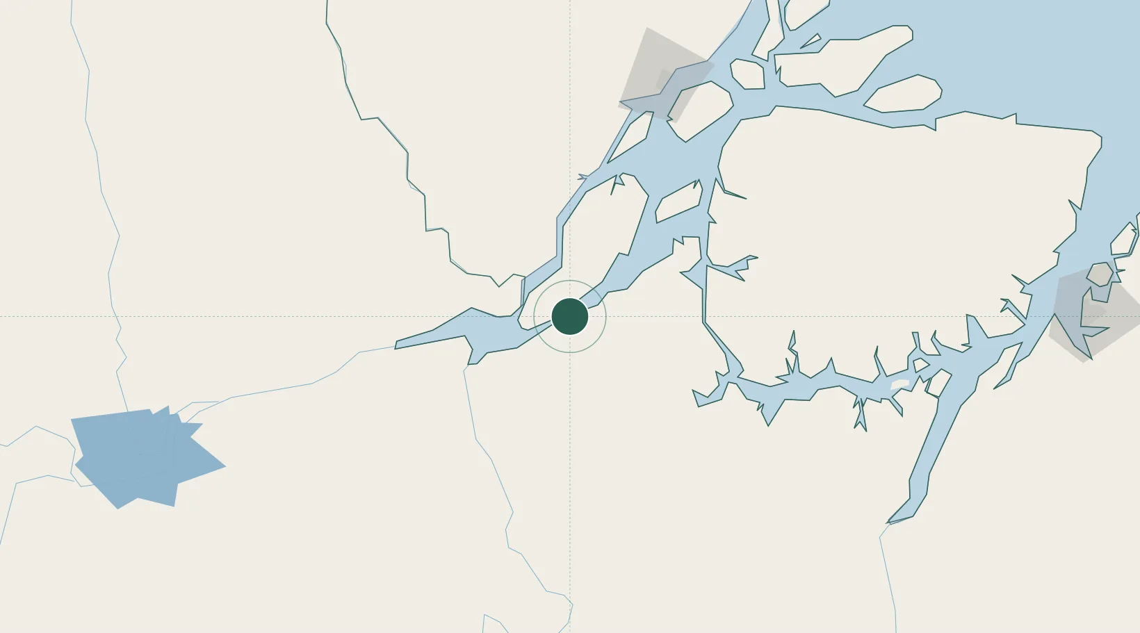
Hub Profile
Place type
Populated place
Region
Pará
Population
31,786
Time zone
America/Belem
Elevation
4 m
Location
Nearby Logistics Neighbours
Cities
- 1Porto de Moz76 km
- 2Almeirim105 km
- 3Portel108 km
- 4Laranjal do Jari117 km
- 5Breves134 km
Ports
- 1Porto Santana158 km
- 2Cameta255 km
- 3Vila Do Conde321 km
- 4Belem348 km
- 5Santarem361 km
Airports
Trade Zones
- 1ZPE de Barcarena (PA)334 km
- 2ZPE de Araguaína (TO)746 km
- 3ZPE de São Luís822 km
- 4Zona Franca de Manaus - Suframa (Manaus Free Zone)946 km
- 5Lethem Industrial Estate1052 km
DatabookThe Record of Consolidated Knowledge
Brazil beyond logistics?