Medium airport · Brazil

Macapá - Alberto Alcolumbre International AirportSBMQ
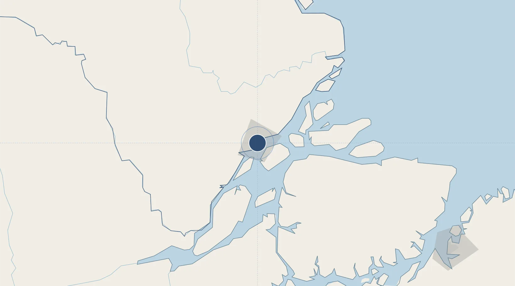
0.0507°, -51.0722°
6,890 ft
Longest runway
1
Runways
56 ft
Elevation

Runway & Layout

Macapá - Alberto Alcolumbre International Airport runway & taxiway layout
Runway & taxiway layout — OpenStreetMap (ODbL) / OurAirports

Radio Frequencies

TWR
118 MHz
APP
119 MHz
OurAirports

Navaids

MCP VOR-DME Macapa 112.00 MHz
MCP NDB Macapa 215 kHz
OurAirports

Runways · 1

RunwayDimensions SurfaceTrue headingLit
8/26 6,890 × 148ft Asphalt
OurAirports

Airport Specifications

IATA code
MCP
OurAirports
ICAO code
SBMQ
OurAirports
Airport class
Medium airport
OurAirports
Scheduled service
Yes
OurAirports
Runway surface
Asphalt
OurAirports
Served city
Macapá
OurAirports

Location

Location of SBMQ
Natural Earth 10m (public domain) · Amapá · SBMQ · 0.05, -51.07GoogleOSMYandex

Nearby Logistics Neighbours

Airports
  1. 1Monte Dourado - Serra do Areão Airport200 km
  2. 2Breves Airport200 km
  3. 3Almeirim Airport239 km
  4. 4Val de Cans/Júlio Cezar Ribeiro International Airport330 km
  5. 5Altamira Interstate Airport390 km
Nearest neighbours — logibook spatial index (haversine) over the source coordinates
Cities
  1. 1Santana Pt / Macapá15 km
  2. 2Afuá80 km
  3. 3Chaves123 km
  4. 4Gurupá173 km
  5. 5Laranjal do Jari191 km
Nearest neighbours — logibook spatial index (haversine) over the source coordinates
Ports
  1. 1Porto Santana17 km
  2. 2Cameta310 km
  3. 3Vila Do Conde314 km
  4. 4Belem331 km
  5. 5Santarem489 km
Nearest neighbours — logibook spatial index (haversine) over the source coordinates
Trade Zones
  1. 1ZPE de Barcarena (PA)323 km
  2. 2ZPE de São Luís804 km
  3. 3ZPE de Araguaína (TO)864 km
  4. 4Lethem Industrial Estate1039 km
  5. 5Zona Franca de Manaus - Suframa (Manaus Free Zone)1051 km
Nearest neighbours — logibook spatial index (haversine) over the source coordinates
DatabookThe Record of Consolidated Knowledge
Brazil beyond logistics?
Browse databook

All Sources

AirportsOurAirports
Public domain
Portsthe NGA World Port Index
Public domain (US gov)
LocationsUN/LOCODE
UN/LOCODE — free
Trade Zonesthe World Bank SEZ database
CC BY 4.0
Trade ZonesOpen Zone Map
CC BY
InfrastructureOpenStreetMap
ODbL 1.0
← Brazil airports