UN/LOCODE hub · Brazil
BRAFU

Afuá

-0.1500°, -50.3833°
37,765
Population
2
Transport functions

Transport Functions

Port
Road
UN/LOCODE

Hub Profile

Place type
Populated place
GeoNames
Region
Pará
GeoNames
Population
37,765
GeoNames
Time zone
America/Belem
GeoNames
Elevation
1 m
GeoNames

Location

Location of BRAFU
Natural Earth 10m (public domain) · Pará · BRAFU · -0.15, -50.38GoogleOSMYandex

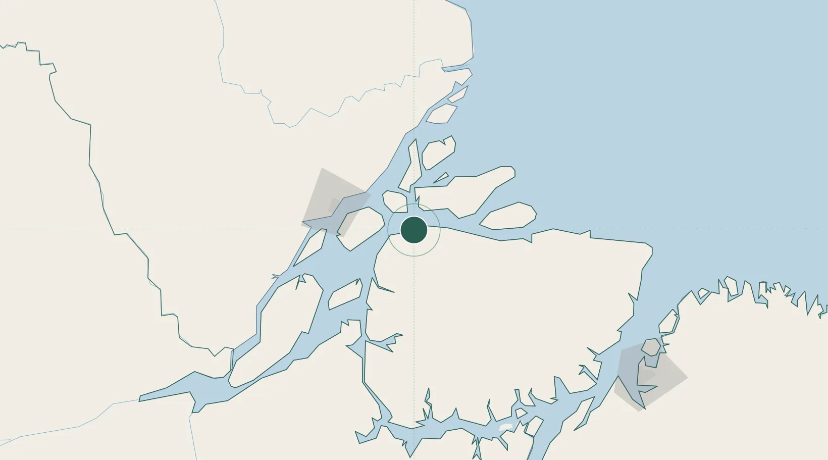
Nearby Logistics Neighbours

Cities
  1. 1Chaves45 km
  2. 2Santana Pt / Macapá88 km
  3. 3Breves171 km
  4. 4Cachoeira do Arari185 km
  5. 5Gurupá197 km
Nearest neighbours — logibook spatial index (haversine) over the source coordinates
Ports
  1. 1Porto Santana90 km
  2. 2Vila Do Conde239 km
  3. 3Cameta253 km
  4. 4Belem254 km
  5. 5Santarem544 km
Nearest neighbours — logibook spatial index (haversine) over the source coordinates
Airports
  1. 1Macapá - Alberto Alcolumbre International Airport80 km
  2. 2Breves Airport165 km
  3. 3Val de Cans/Júlio Cezar Ribeiro International Airport252 km
  4. 4Monte Dourado - Serra do Areão Airport260 km
  5. 5Almeirim Airport285 km
Nearest neighbours — logibook spatial index (haversine) over the source coordinates
Trade Zones
  1. 1ZPE de Barcarena (PA)248 km
  2. 2ZPE de São Luís725 km
  3. 3ZPE de Araguaína (TO)817 km
  4. 4ZPE de Parnaíba (PI)1007 km
  5. 5Zona Franca de Manaus - Suframa (Manaus Free Zone)1116 km
Nearest neighbours — logibook spatial index (haversine) over the source coordinates
DatabookThe Record of Consolidated Knowledge
Brazil beyond logistics?
Browse databook

All Sources

LocationsUN/LOCODE
UN/LOCODE — free
LocationsGeoNames
CC BY 4.0
Portsthe NGA World Port Index
Public domain (US gov)
AirportsOurAirports
Public domain
Trade Zonesthe World Bank SEZ database
CC BY 4.0
Trade ZonesOpen Zone Map
CC BY
← Brazil locations