Export Processing Zone · Brazil
ZPE de São Luís Under Development
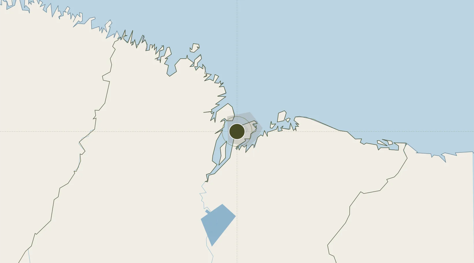
-2.5606°, -44.3282°
422 ha
Zone area
4.3 km
Nearest port
10.7 km
Nearest airport
Gateway access
Zone profile
Zone type
Export Processing Zone
Region
Maranhão
Status
Under Development
Management
Public
Operator
Secretário de Indústria e Comércio
Legal framework
Decreto No 899, de 17 de Agosto de 1993; Law 11.508 / 2007, with the changes introduced by Laws 11.732 / 2008 and 12.767 / 2012
Location
Nearby Logistics Neighbours
Ports
- 1Itaqui4 km
- 2Tutoia229 km
- 3Camocim390 km
- 4Belem480 km
- 5Vila Do Conde504 km
Airports
Cities
- 1Itaqui Pt / São Luís3 km
- 2Ponta da Madeira Pt / São Luís4 km
- 3São Luís7 km
- 4Alcântara20 km
- 5Bacabeira47 km
Trade Zones
- 1ZPE de Parnaíba (PI)288 km
- 2ZPE de Barcarena (PA)492 km
- 3ZPE de Pecém (CE) ( Port of Pecém)619 km
- 4ZPE de Araguaína (TO)670 km
- 5ZPE de Macaíba (RN)1051 km
DatabookThe Record of Consolidated Knowledge
Brazil beyond logistics?