Transport Functions
Port
Road
Hub Profile
Place type
Populated place
Region
Pará
Population
20,757
Time zone
America/Belem
Elevation
0 m
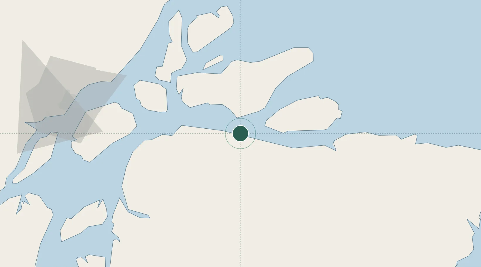
Location
Nearby Logistics Neighbours
Cities
- 1Afuá45 km
- 2Santana Pt / Macapá132 km
- 3Cachoeira do Arari149 km
- 4Soure177 km
- 5Salvaterra178 km
Ports
- 1Porto Santana134 km
- 2Vila Do Conde208 km
- 3Belem219 km
- 4Cameta240 km
- 5Santarem583 km
Airports
Trade Zones
- 1ZPE de Barcarena (PA)214 km
- 2ZPE de São Luís683 km
- 3ZPE de Araguaína (TO)806 km
- 4ZPE de Parnaíba (PI)965 km
- 5Zona Franca de Manaus - Suframa (Manaus Free Zone)1159 km
DatabookThe Record of Consolidated Knowledge
Brazil beyond logistics?