Small airport · Brazil
Breves AirportSNVS
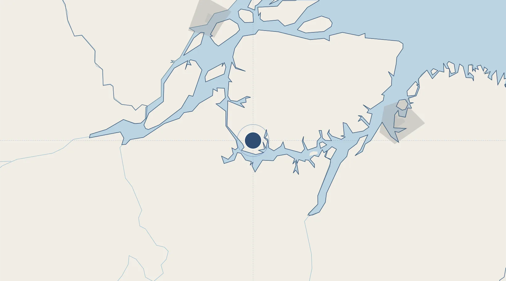
-1.6365°, -50.4436°
5,249 ft
Longest runway
1
Runways
98 ft
Elevation
Runway & Layout

Runways · 1
| Runway | Dimensions | Surface | True heading | Lit |
|---|---|---|---|---|
| 07/25 | 5,249 × 98ft | Asphalt | — | — |
Airport Specifications
IATA code
BVS
ICAO code
SNVS
Airport class
Small airport
Scheduled service
Yes
Runway surface
Asphalt
Served city
Breves
Location
Nearby Logistics Neighbours
Airports
Ports
- 1Cameta125 km
- 2Vila Do Conde189 km
- 3Porto Santana195 km
- 4Belem217 km
- 5Santarem483 km
Trade Zones
- 1ZPE de Barcarena (PA)202 km
- 2ZPE de Araguaína (TO)664 km
- 3ZPE de São Luís687 km
- 4ZPE de Parnaíba (PI)975 km
- 5Zona Franca de Manaus - Suframa (Manaus Free Zone)1072 km
DatabookThe Record of Consolidated Knowledge
Brazil beyond logistics?