UN/LOCODE hub · Brazil
BRBVS

Breves

-1.6833°, -50.4667°
106,968
Population
3
Transport functions

Transport Functions

Port
Road
Airport
UN/LOCODE

Hub Profile

Place type
Populated place
GeoNames
Region
Pará
GeoNames
Population
106,968
GeoNames
Time zone
America/Belem
GeoNames
Elevation
7 m
GeoNames

Location

Location of BRBVS
Natural Earth 10m (public domain) · Pará · BRBVS · -1.68, -50.47GoogleOSMYandex

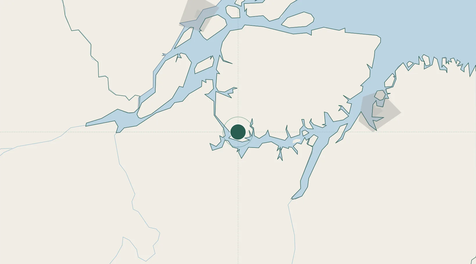
Nearby Logistics Neighbours

Cities
  1. 1Portel48 km
  2. 2Cametá125 km
  3. 3Gurupá134 km
  4. 4Afuá171 km
  5. 5Chaves179 km
Nearest neighbours — logibook spatial index (haversine) over the source coordinates
Ports
  1. 1Cameta125 km
  2. 2Vila Do Conde191 km
  3. 3Porto Santana198 km
  4. 4Belem220 km
  5. 5Santarem479 km
Nearest neighbours — logibook spatial index (haversine) over the source coordinates
Airports
  1. 1Breves Airport6 km
  2. 2Macapá - Alberto Alcolumbre International Airport204 km
  3. 3Val de Cans/Júlio Cezar Ribeiro International Airport224 km
  4. 4Almeirim Airport236 km
  5. 5Tucuruí Airport248 km
Nearest neighbours — logibook spatial index (haversine) over the source coordinates
Trade Zones
  1. 1ZPE de Barcarena (PA)205 km
  2. 2ZPE de Araguaína (TO)660 km
  3. 3ZPE de São Luís689 km
  4. 4ZPE de Parnaíba (PI)977 km
  5. 5Zona Franca de Manaus - Suframa (Manaus Free Zone)1068 km
Nearest neighbours — logibook spatial index (haversine) over the source coordinates
DatabookThe Record of Consolidated Knowledge
Brazil beyond logistics?
Browse databook

All Sources

LocationsUN/LOCODE
UN/LOCODE — free
LocationsGeoNames
CC BY 4.0
Portsthe NGA World Port Index
Public domain (US gov)
AirportsOurAirports
Public domain
Trade Zonesthe World Bank SEZ database
CC BY 4.0
Trade ZonesOpen Zone Map
CC BY
← Brazil locations