Large airport · Brazil
Val de Cans/Júlio Cezar Ribeiro International AirportSBBE
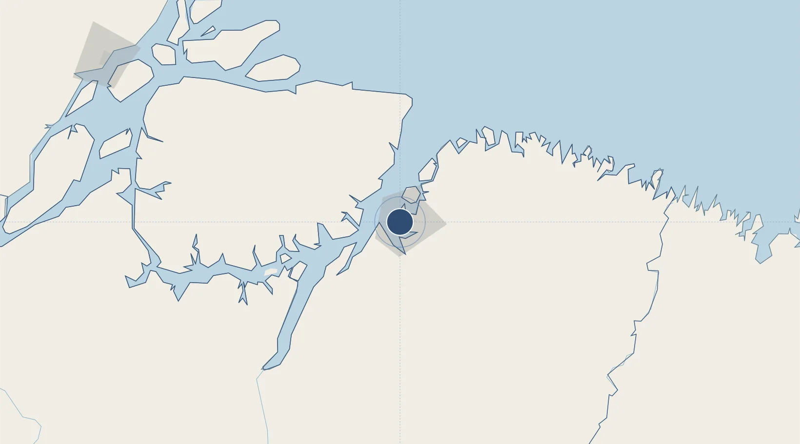
-1.3793°, -48.4762°
9,186 ft
Longest runway
2
Runways
54 ft
Elevation
Runway & Layout

Radio Frequencies
ATIS
127.6 MHz
BELEM ATIS
TWR
118.7 MHz
BELEM TWR
GND
121.9 MHz
APP
119.05 MHz
BELEM APP
OPS
122.5 MHz
BELEM OPS
Navaids
BEL VOR-DME Belem 117.30 MHz
BEL NDB Belem 250 kHz
IE NDB Valde 395 kHz
Runways · 2
| Runway | Dimensions | Surface | True heading | Lit |
|---|---|---|---|---|
| 07/25 | 9,186 × 148ft | Asphalt | 046° | — |
| 03/21 | 6,004 × 148ft | Asphalt | 005° | — |
Airport Specifications
IATA code
BEL
ICAO code
SBBE
Airport class
Large airport
Scheduled service
Yes
Runway surface
Asphalt
Served city
Belém
Location
Nearby Logistics Neighbours
Airports
- 1Salinópolis Airport148 km
- 2Breves Airport221 km
- 3Nagib Demachki Airport223 km
- 4Tucuruí Airport301 km
- 5Macapá - Alberto Alcolumbre International Airport330 km
Cities
- 1Belém0 km
- 2Ananindeua12 km
- 3Benevides27 km
- 4Vila do Conde Pt / Barcarena36 km
- 5Moju65 km
Ports
- 1Belem8 km
- 2Vila Do Conde36 km
- 3Cameta149 km
- 4Porto Santana335 km
- 5Itaqui475 km
Trade Zones
- 1ZPE de Barcarena (PA)23 km
- 2ZPE de São Luís479 km
- 3ZPE de Araguaína (TO)645 km
- 4ZPE de Parnaíba (PI)766 km
- 5ZPE de Pecém (CE) ( Port of Pecém)1097 km
DatabookThe Record of Consolidated Knowledge
Brazil beyond logistics?