UN/LOCODE hub · Brazil
BRLJI
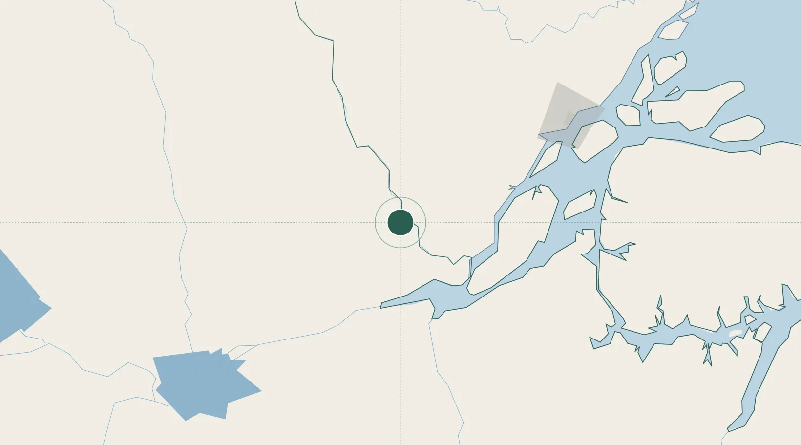
Laranjal do Jari
-0.8500°, -52.5333°
35,114
Population
2
Transport functions
Transport Functions
Port
Road
Hub Profile
Place type
Populated place
Region
Amapá
Population
35,114
Time zone
America/Belem
Elevation
79 m
Location
Nearby Logistics Neighbours
Cities
- 1Almeirim74 km
- 2Porto de Moz104 km
- 3Gurupá117 km
- 4Prainha148 km
- 5Santana Pt / Macapá176 km
Ports
- 1Porto Santana175 km
- 2Santarem299 km
- 3Cameta371 km
- 4Vila Do Conde428 km
- 5Belem453 km
Airports
Trade Zones
- 1ZPE de Barcarena (PA)440 km
- 2ZPE de Araguaína (TO)851 km
- 3Zona Franca de Manaus - Suframa (Manaus Free Zone)865 km
- 4ZPE de São Luís932 km
- 5Lethem Industrial Estate935 km
DatabookThe Record of Consolidated Knowledge
Brazil beyond logistics?