Transport Functions
Port
Road
Airport
Hub Profile
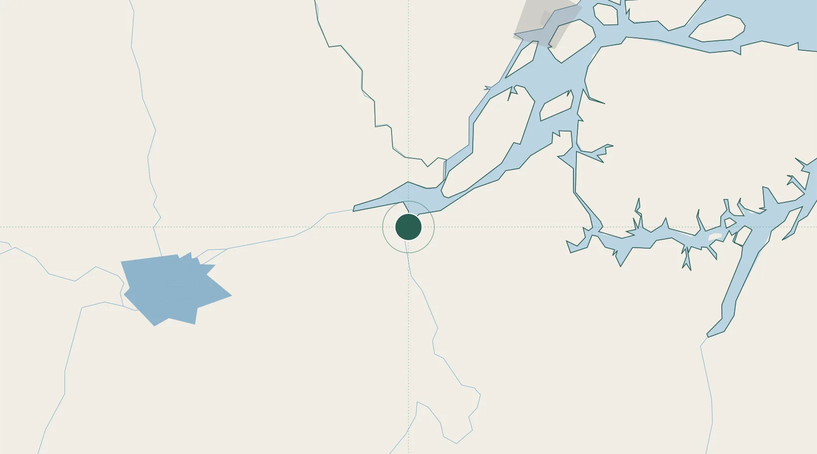
Place type
Populated place
Region
Pará
Population
40,597
Time zone
America/Santarem
Elevation
20 m
Location
Nearby Logistics Neighbours
Cities
- 1Almeirim44 km
- 2Gurupá76 km
- 3Senador José Porfírio100 km
- 4Laranjal do Jari104 km
- 5Vitória do Xingu131 km
Ports
- 1Porto Santana221 km
- 2Santarem286 km
- 3Cameta309 km
- 4Vila Do Conde388 km
- 5Belem416 km
Airports
Trade Zones
- 1ZPE de Barcarena (PA)401 km
- 2ZPE de Araguaína (TO)751 km
- 3Zona Franca de Manaus - Suframa (Manaus Free Zone)874 km
- 4ZPE de São Luís883 km
- 5Lethem Industrial Estate1016 km
DatabookThe Record of Consolidated Knowledge
Brazil beyond logistics?