UN/LOCODE hub · Brazil
BRAMM

Almeirim

-1.5167°, -52.5667°
34,280
Population
3
Transport functions

Transport Functions

Port
Road
Airport
UN/LOCODE

Hub Profile

Place type
Populated place
GeoNames
Region
Pará
GeoNames
Population
34,280
GeoNames
Time zone
America/Santarem
GeoNames
Elevation
6 m
GeoNames

Location

Location of BRAMM
Natural Earth 10m (public domain) · Pará · BRAMM · -1.52, -52.57GoogleOSMYandex

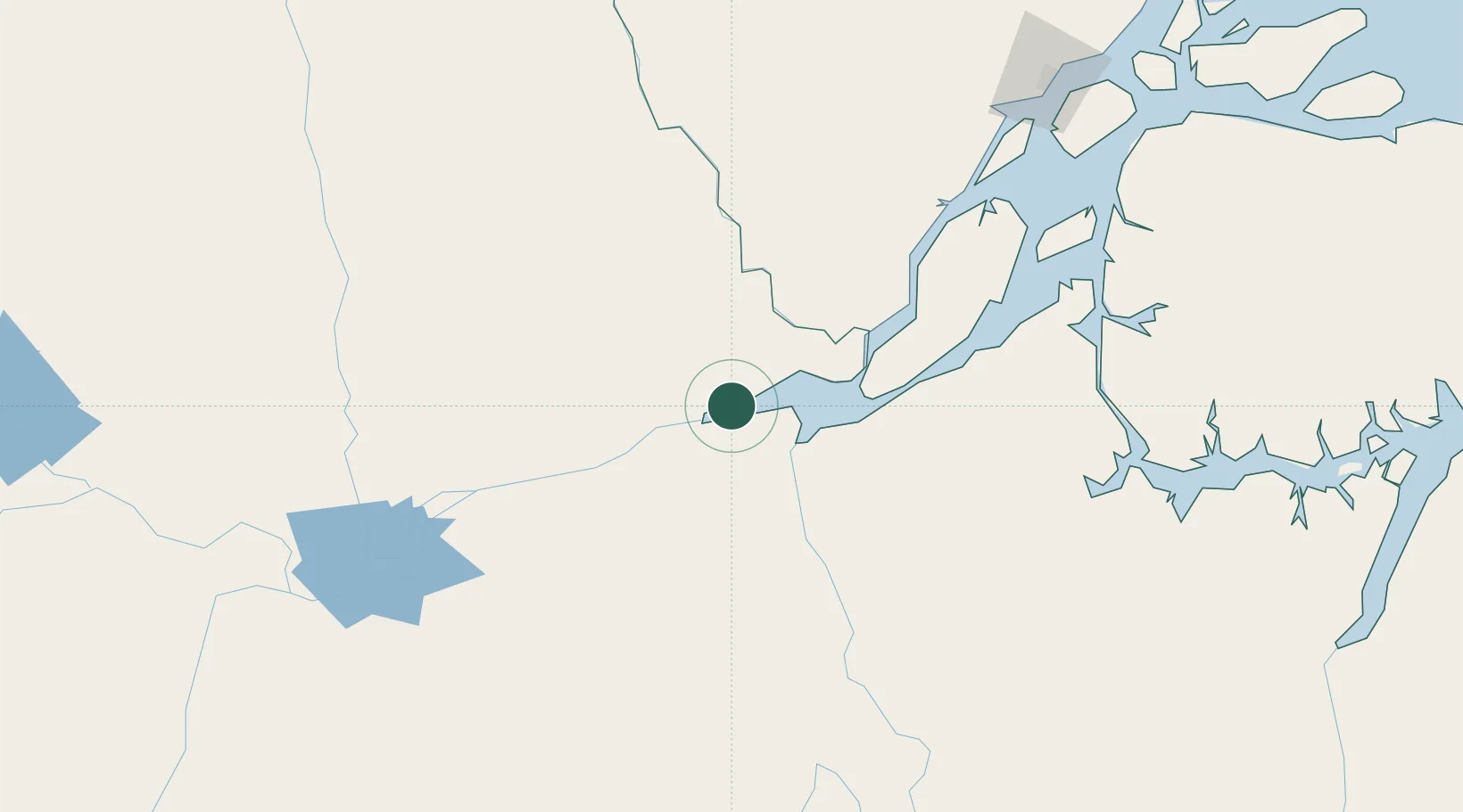
Nearby Logistics Neighbours

Cities
  1. 1Porto de Moz44 km
  2. 2Laranjal do Jari74 km
  3. 3Gurupá105 km
  4. 4Prainha105 km
  5. 5Senador José Porfírio137 km
Nearest neighbours — logibook spatial index (haversine) over the source coordinates
Ports
  1. 1Porto Santana224 km
  2. 2Santarem259 km
  3. 3Cameta350 km
  4. 4Vila Do Conde424 km
  5. 5Belem452 km
Nearest neighbours — logibook spatial index (haversine) over the source coordinates
Airports
  1. 1Almeirim Airport4 km
  2. 2Monte Dourado - Serra do Areão Airport70 km
  3. 3Altamira Interstate Airport196 km
  4. 4Breves Airport236 km
  5. 5Macapá - Alberto Alcolumbre International Airport241 km
Nearest neighbours — logibook spatial index (haversine) over the source coordinates
Trade Zones
  1. 1ZPE de Barcarena (PA)438 km
  2. 2ZPE de Araguaína (TO)793 km
  3. 3Zona Franca de Manaus - Suframa (Manaus Free Zone)842 km
  4. 4ZPE de São Luís923 km
  5. 5Lethem Industrial Estate972 km
Nearest neighbours — logibook spatial index (haversine) over the source coordinates
DatabookThe Record of Consolidated Knowledge
Brazil beyond logistics?
Browse databook

All Sources

LocationsUN/LOCODE
UN/LOCODE — free
LocationsGeoNames
CC BY 4.0
Portsthe NGA World Port Index
Public domain (US gov)
AirportsOurAirports
Public domain
Trade Zonesthe World Bank SEZ database
CC BY 4.0
Trade ZonesOpen Zone Map
CC BY
← Brazil locations