Transport Functions
Port
Road
Hub Profile
Place type
Populated place
Region
Pará
Population
62,503
Time zone
America/Belem
Elevation
12 m
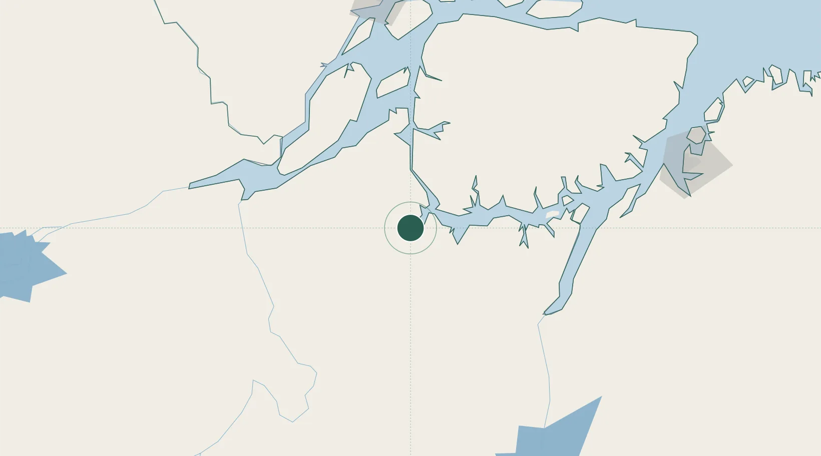
Location
Nearby Logistics Neighbours
Cities
- 1Breves48 km
- 2Gurupá108 km
- 3Senador José Porfírio145 km
- 4Cametá152 km
- 5Porto de Moz159 km
Ports
- 1Cameta151 km
- 2Porto Santana213 km
- 3Vila Do Conde234 km
- 4Belem263 km
- 5Santarem437 km
Airports
Trade Zones
- 1ZPE de Barcarena (PA)248 km
- 2ZPE de Araguaína (TO)650 km
- 3ZPE de São Luís724 km
- 4ZPE de Parnaíba (PI)1012 km
- 5Zona Franca de Manaus - Suframa (Manaus Free Zone)1026 km
DatabookThe Record of Consolidated Knowledge
Brazil beyond logistics?