Transport Functions
Port
Road
Hub Profile
Place type
Populated place
Region
Pará
Population
134,184
Time zone
America/Belem
Elevation
11 m
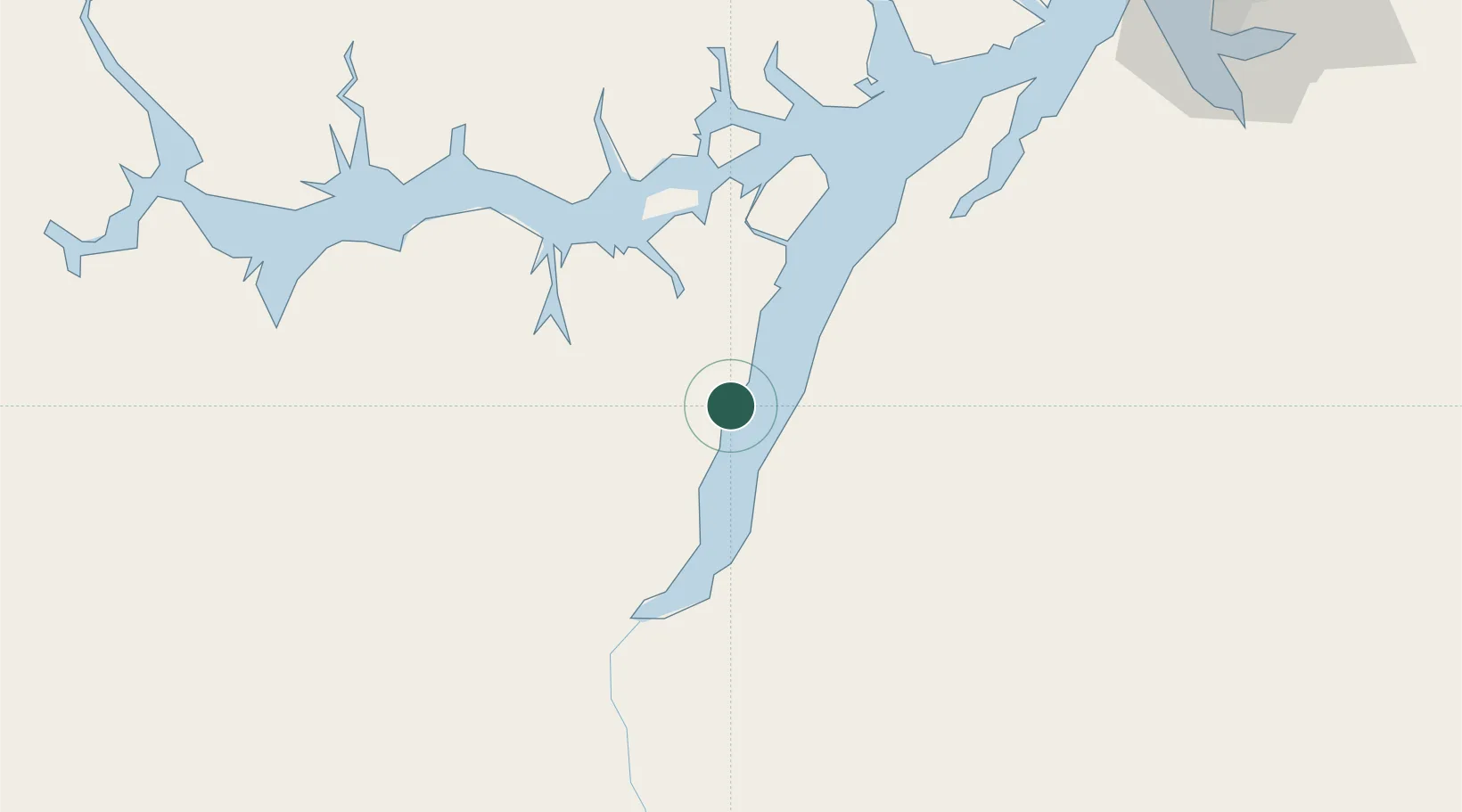
Location
Nearby Logistics Neighbours
Cities
- 1Moju89 km
- 2Tailândia98 km
- 3Vila do Conde Pt / Barcarena112 km
- 4Breves125 km
- 5Acará146 km
Ports
- 1Vila Do Conde111 km
- 2Belem140 km
- 3Porto Santana308 km
- 4Itaqui570 km
- 5Santarem582 km
Airports
- 1Breves Airport126 km
- 2Val de Cans/Júlio Cezar Ribeiro International Airport147 km
- 3Tucuruí Airport175 km
- 4Nagib Demachki Airport256 km
- 5Salinópolis Airport294 km
Trade Zones
- 1ZPE de Barcarena (PA)124 km
- 2ZPE de Araguaína (TO)567 km
- 3ZPE de São Luís574 km
- 4ZPE de Parnaíba (PI)861 km
- 5Zona Franca de Manaus - Suframa (Manaus Free Zone)1169 km
DatabookThe Record of Consolidated Knowledge
Brazil beyond logistics?