Medium airport · Brazil
Tucuruí AirportSBTU
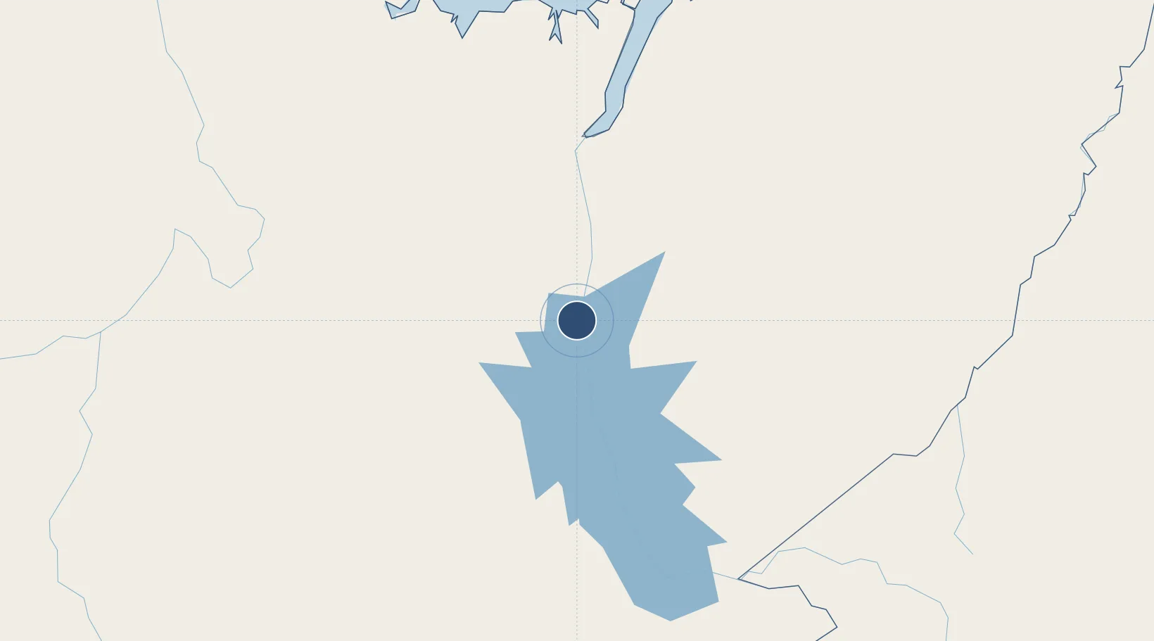
-3.7860°, -49.7203°
6,562 ft
Longest runway
1
Runways
830 ft
Elevation
Runway & Layout

Radio Frequencies
AFIS
128.1 MHz
RDO
Navaids
TUI VOR-DME Tucurui 112.90 MHz
TUI NDB Tucurui 220 kHz
Runways · 1
| Runway | Dimensions | Surface | True heading | Lit |
|---|---|---|---|---|
| 2/20 | 6,562 × 148ft | CON/ASP | — | — |
Airport Specifications
IATA code
TUR
ICAO code
SBTU
Airport class
Medium airport
Scheduled service
Yes
Runway surface
CON/ASP
Served city
Tucuruí
Location
Nearby Logistics Neighbours
Airports
- 1João Correa da Rocha Airport187 km
- 2Breves Airport252 km
- 3Carajás Airport261 km
- 4Nagib Demachki Airport280 km
- 5Altamira Interstate Airport287 km
Ports
- 1Cameta173 km
- 2Vila Do Conde271 km
- 3Belem293 km
- 4Porto Santana446 km
- 5Santarem575 km
Trade Zones
- 1ZPE de Barcarena (PA)280 km
- 2ZPE de Araguaína (TO)412 km
- 3ZPE de São Luís614 km
- 4ZPE de Parnaíba (PI)887 km
- 5Zona Franca de Manaus - Suframa (Manaus Free Zone)1140 km
DatabookThe Record of Consolidated Knowledge
Brazil beyond logistics?