Export Processing Zone · Brazil
ZPE de Parnaíba (PI) Under Development
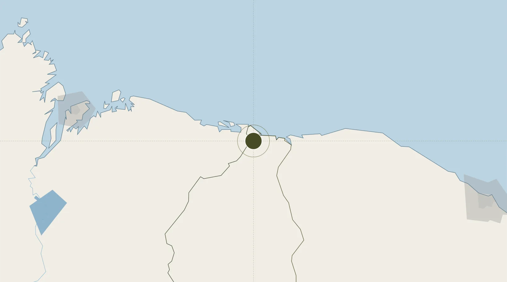
-2.9582°, -41.7691°
313 ha
Zone area
60.3 km
Nearest port
8.3 km
Nearest airport
Gateway access
Zone profile
Zone type
Export Processing Zone
Region
Piauí
Status
Under Development
Management
Private
Operator
Companhia Administradora da Zona de Processamento de Exportação de Parnaíba-PI S/A. (ZPE Parnaíba)
Legal framework
Law 11.508 / 2007, with the changes introduced by Laws 11.732 / 2008 and 12.767 / 2012
Location
Nearby Logistics Neighbours
Ports
- 1Tutoia60 km
- 2Camocim104 km
- 3Itaqui292 km
- 4Guamare Oil Terminal645 km
- 5Belem766 km
Airports
Trade Zones
- 1ZPE de São Luís288 km
- 2ZPE de Pecém (CE) ( Port of Pecém)332 km
- 3ZPE de Macaíba (RN)771 km
- 4ZPE de Barcarena (PA)779 km
- 5ZPE de Araguaína (TO)855 km
DatabookThe Record of Consolidated Knowledge
Brazil beyond logistics?