UN/LOCODE hub · Brazil
BRCHI
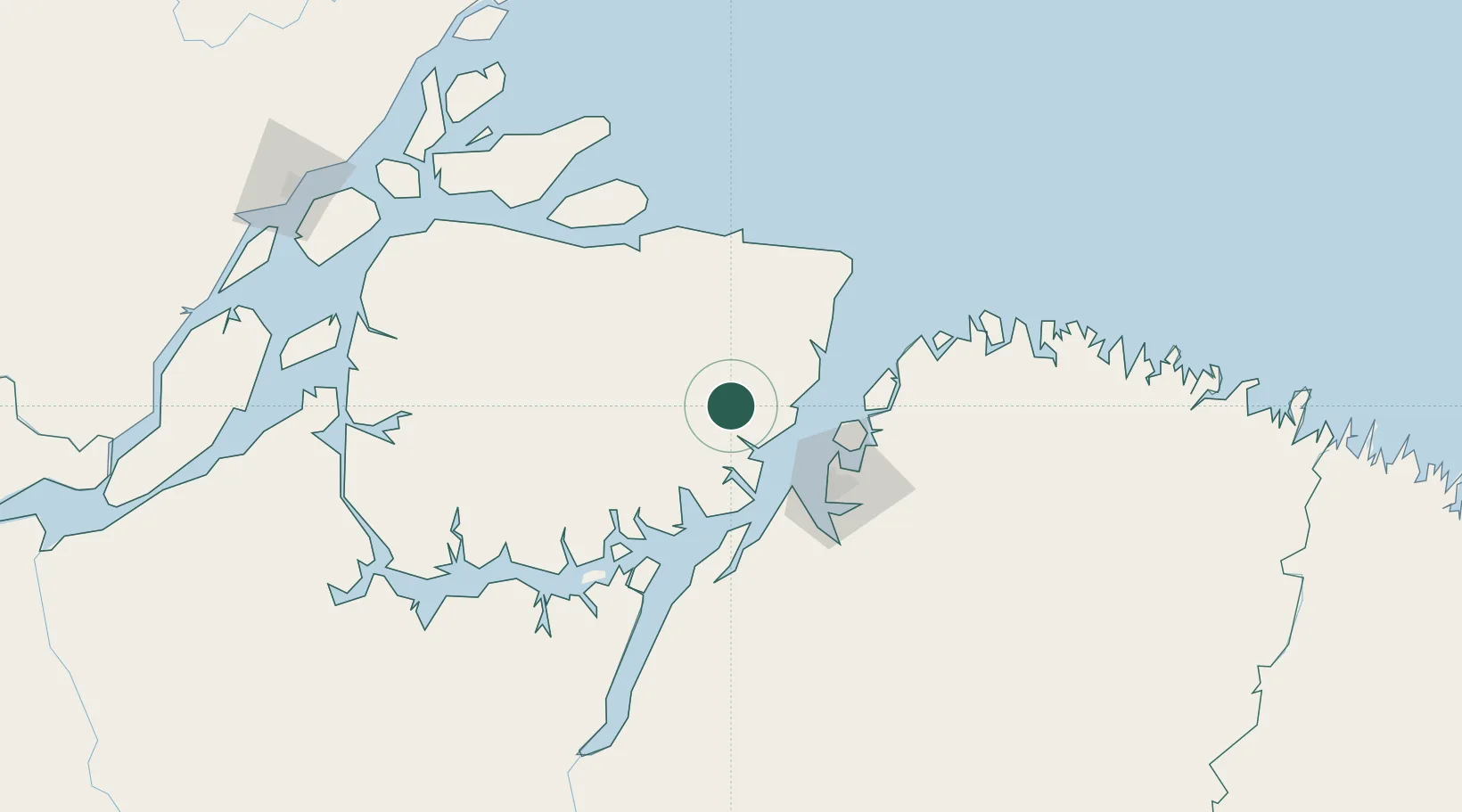
Cachoeira do Arari
-1.0000°, -48.9500°
23,981
Population
2
Transport functions
Transport Functions
Port
Road
Hub Profile
Place type
Populated place
Region
Pará
Population
23,981
Time zone
America/Belem
Elevation
8 m
Location
Nearby Logistics Neighbours
Cities
- 1Salvaterra57 km
- 2Soure59 km
- 3Vila do Conde Pt / Barcarena64 km
- 4Belém68 km
- 5Ananindeua77 km
Ports
- 1Vila Do Conde65 km
- 2Belem71 km
- 3Cameta152 km
- 4Porto Santana270 km
- 5Itaqui538 km
Airports
Trade Zones
- 1ZPE de Barcarena (PA)68 km
- 2ZPE de São Luís542 km
- 3ZPE de Araguaína (TO)692 km
- 4ZPE de Parnaíba (PI)827 km
- 5ZPE de Pecém (CE) ( Port of Pecém)1158 km
DatabookThe Record of Consolidated Knowledge
Brazil beyond logistics?