Transport Functions
Rail
Road
Hub Profile
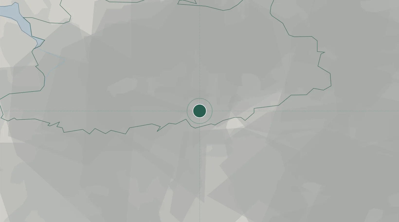
Place type
Populated place
Region
Flanders
Population
2,422
Time zone
Europe/Brussels
Elevation
13 m
Location
Nearby Logistics Neighbours
Airports
- 1Antwerp International Airport (Deurne)29 km
- 2Brussels Airport31 km
- 3Beauvechain Air Base35 km
- 4Kleine Brogel Air Base46 km
- 5Woensdrecht Air Base55 km
Trade Zones
- 1Rheinische Revier SWZ110 km
- 2ZFU Maubeuge, Louvroil110 km
- 3ZFU Condé sur lEscaut111 km
- 4ZFU Tourcoing124 km
- 5ZFU Hem et Roubaix124 km
DatabookThe Record of Consolidated Knowledge
Belgium beyond logistics?