Transport Functions
Rail
Road
Multimodal
Hub Profile
Place type
Populated place
Region
Flanders
Time zone
Europe/Brussels
Elevation
12 m
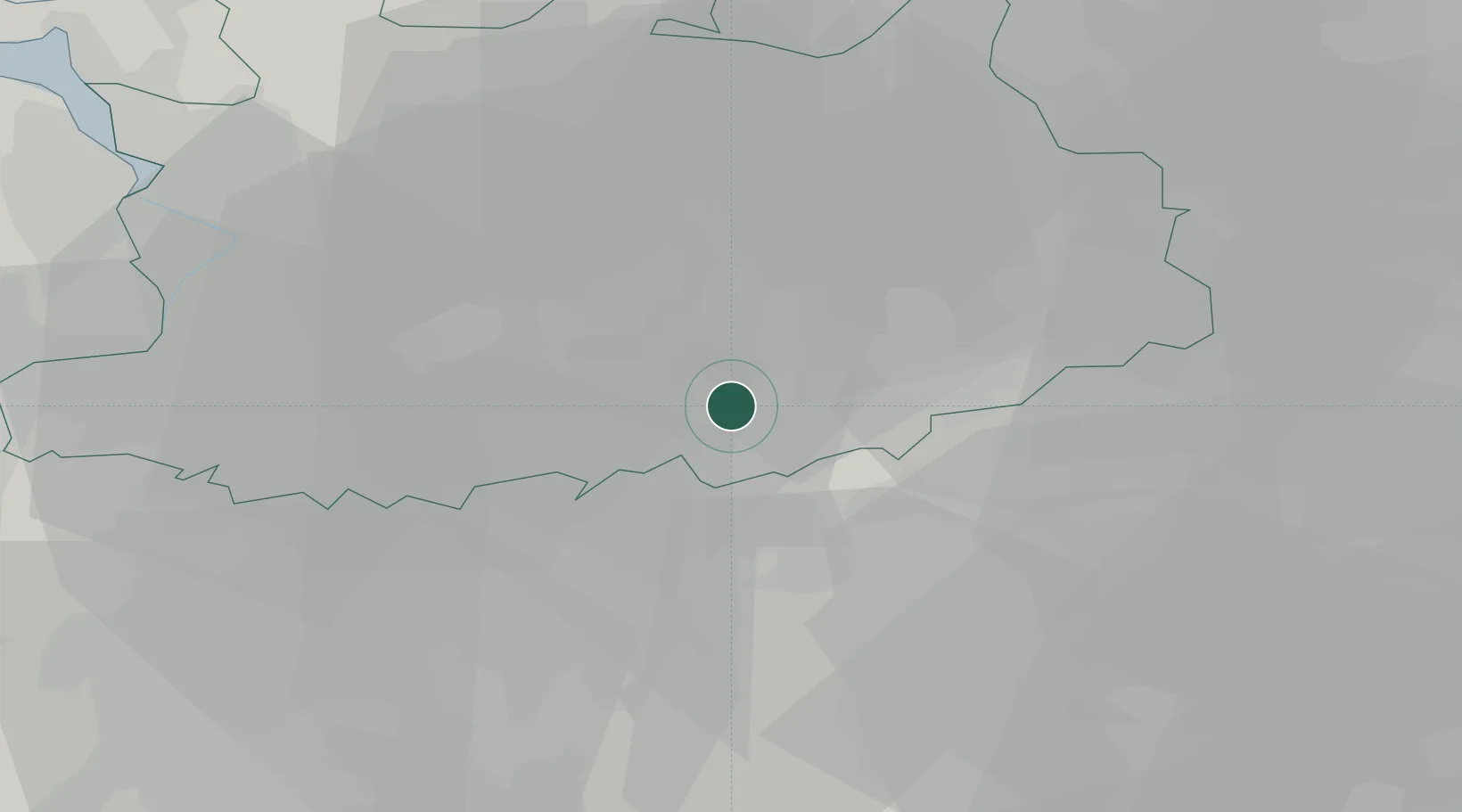
Location
Nearby Logistics Neighbours
Cities
- 1Westmeerbeek2 km
- 2Oevel7 km
- 3Olen8 km
- 4Oosterlo10 km
- 5Herentals11 km
Airports
- 1Antwerp International Airport (Deurne)29 km
- 2Brussels Airport32 km
- 3Beauvechain Air Base36 km
- 4Kleine Brogel Air Base45 km
- 5Woensdrecht Air Base53 km
Trade Zones
- 1Rheinische Revier SWZ110 km
- 2ZFU Maubeuge, Louvroil111 km
- 3ZFU Condé sur lEscaut112 km
- 4ZFU Tourcoing124 km
- 5ZFU Hem et Roubaix125 km
DatabookThe Record of Consolidated Knowledge
Belgium beyond logistics?