Transport Functions
Port
Road
Hub Profile
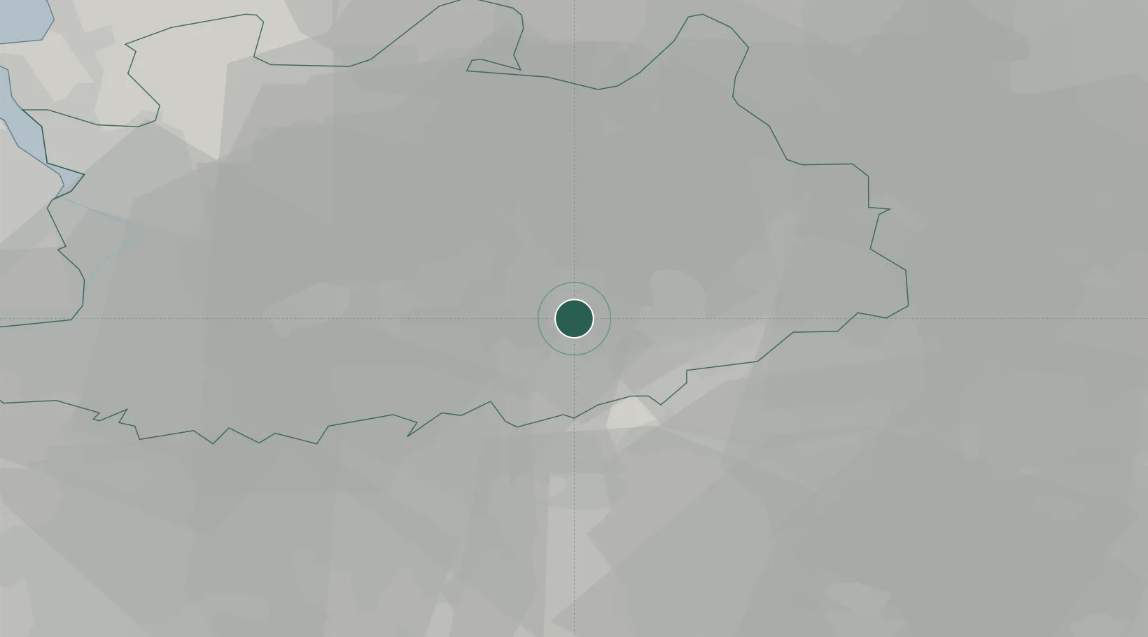
Place type
Populated place
Region
Flanders
Population
3,595
Time zone
Europe/Brussels
Elevation
22 m
Location
Nearby Logistics Neighbours
Cities
- 1Olen3 km
- 2Sint-Jozef-Olen6 km
- 3Oosterlo6 km
- 4Herentals7 km
- 5Heultje7 km
Airports
- 1Antwerp International Airport (Deurne)30 km
- 2Brussels Airport38 km
- 3Kleine Brogel Air Base41 km
- 4Beauvechain Air Base42 km
- 5Gilze Rijen Air Base48 km
Trade Zones
- 1Rheinische Revier SWZ108 km
- 2ZFU Maubeuge, Louvroil118 km
- 3ZFU Condé sur lEscaut118 km
- 4Freeport of Duisburg124 km
- 5ZFU Tourcoing129 km
DatabookThe Record of Consolidated Knowledge
Belgium beyond logistics?