Transport Functions
Port
Road
Hub Profile
Place type
Local administrative seat
Region
Flanders
Population
3,209
Time zone
Europe/Brussels
Elevation
25 m
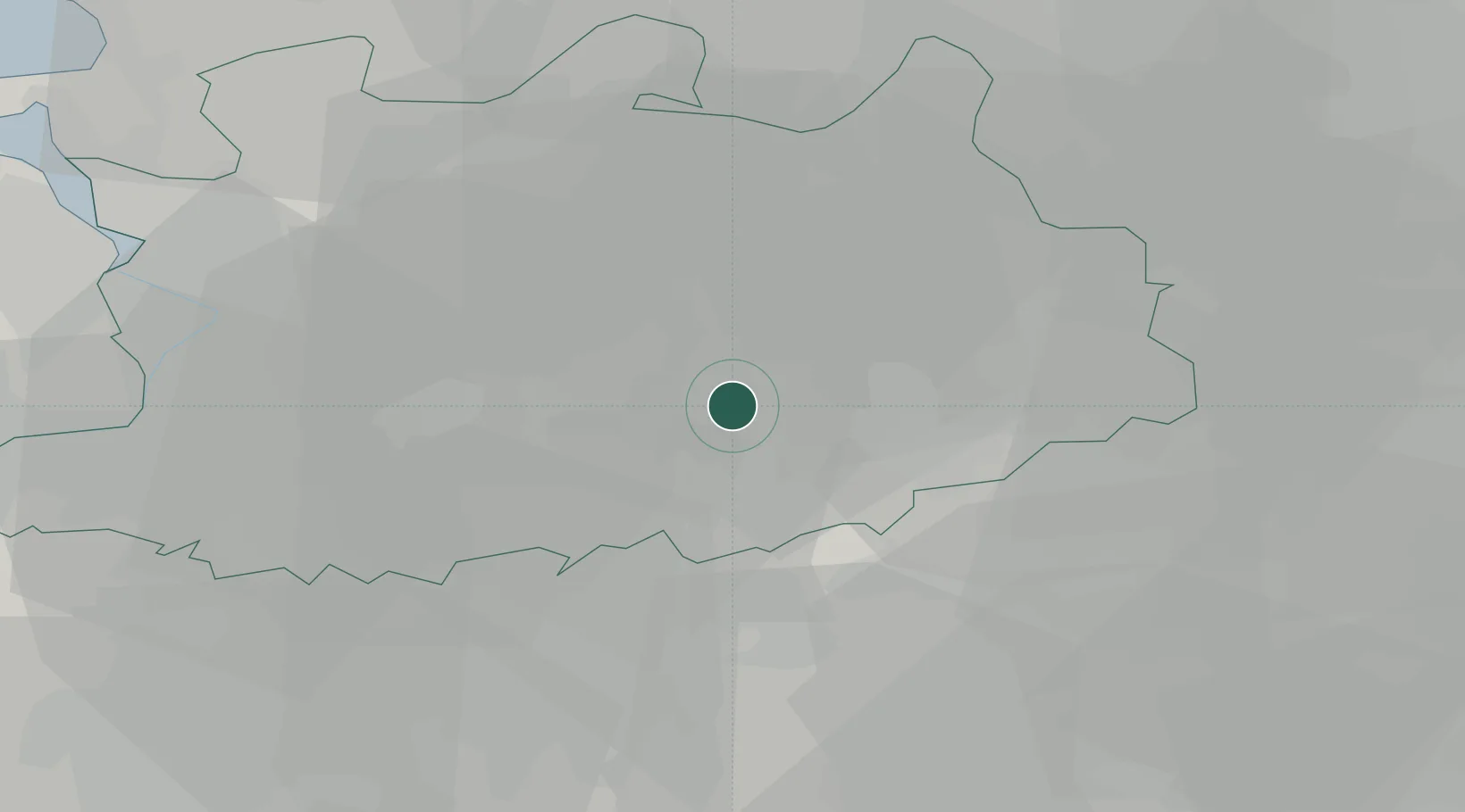
Location
Nearby Logistics Neighbours
Cities
- 1Oevel3 km
- 2Herentals4 km
- 3Sint-Jozef-Olen4 km
- 4Heultje8 km
- 5Lichtaart9 km
Airports
- 1Antwerp International Airport (Deurne)27 km
- 2Brussels Airport38 km
- 3Kleine Brogel Air Base43 km
- 4Beauvechain Air Base44 km
- 5Gilze Rijen Air Base47 km
Trade Zones
- 1Rheinische Revier SWZ110 km
- 2ZFU Condé sur lEscaut117 km
- 3ZFU Maubeuge, Louvroil118 km
- 4Freeport of Duisburg125 km
- 5ZFU Tourcoing128 km
DatabookThe Record of Consolidated Knowledge
Belgium beyond logistics?