Transport Functions
Multimodal
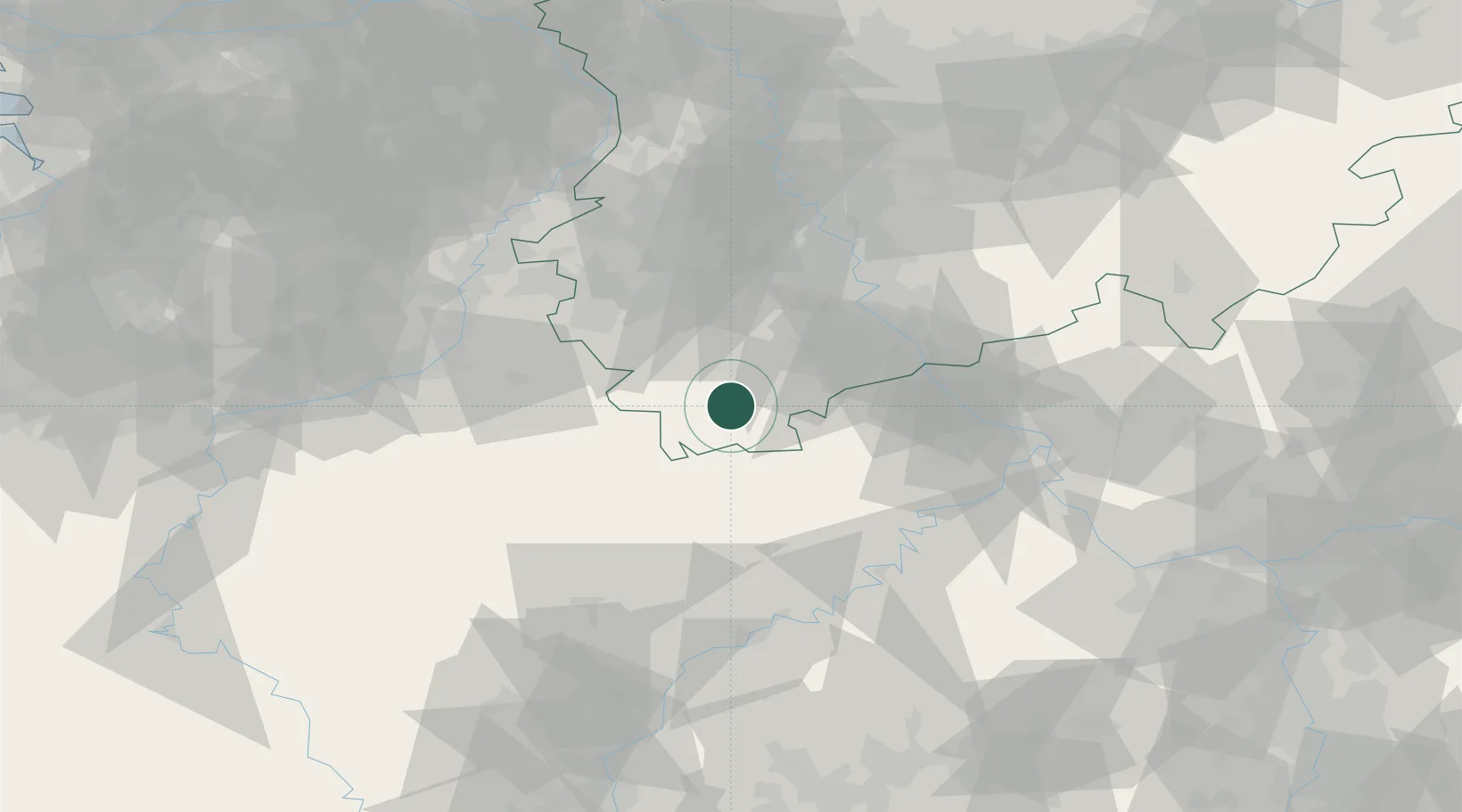
Hub Profile
Place type
Populated place
Region
North Rhine-Westphalia
Time zone
Europe/Berlin
Elevation
519 m
Location
Nearby Logistics Neighbours
Cities
- 1Schleiden7 km
- 2Blankenheim10 km
- 3Hellenthal10 km
- 4Dahlem13 km
- 5Wershofen19 km
Airports
- 1Nörvenich Air Base37 km
- 2Büchel Air Base51 km
- 3Cologne Bonn Airport58 km
- 4Spangdahlem Air Base59 km
- 5Geilenkirchen Air Base63 km
Trade Zones
- 1Rheinische Revier SWZ47 km
- 2Luxembourg Free Port99 km
- 3Freeport of Duisburg105 km
- 4ZFU La Cité Behren-lès-Forbach151 km
- 5ZFU Woippy-Metz153 km
DatabookThe Record of Consolidated Knowledge
Germany beyond logistics?