Transport Functions
Port
Rail
Road
Hub Profile
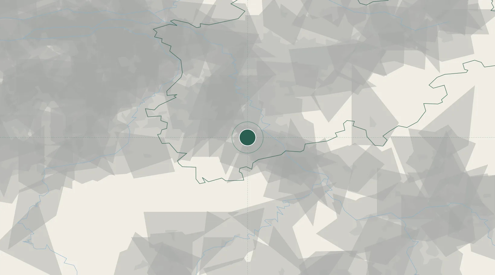
Place type
Local administrative seat
Region
North Rhine-Westphalia
Population
16,321
Time zone
Europe/Berlin
Elevation
120 m
Location
Nearby Logistics Neighbours
Cities
- 1Brühl9 km
- 2Lülsdorf13 km
- 3Godorf13 km
- 4Sankt Vith15 km
- 5Niederkassel15 km
Airports
- 1Nörvenich Air Base14 km
- 2Cologne Bonn Airport24 km
- 3Mönchengladbach Airport57 km
- 4Düsseldorf Airport58 km
- 5Geilenkirchen Air Base60 km
Trade Zones
- 1Rheinische Revier SWZ36 km
- 2Freeport of Duisburg78 km
- 3Luxembourg Free Port133 km
- 4ZFU La Cité Behren-lès-Forbach178 km
- 5ZFU Woippy-Metz186 km
DatabookThe Record of Consolidated Knowledge
Germany beyond logistics?