Transport Functions
Port
Road
Hub Profile
Place type
Populated place
Region
Flanders
Population
34,697
Time zone
Europe/Brussels
Elevation
22 m
Logistics facilities
1
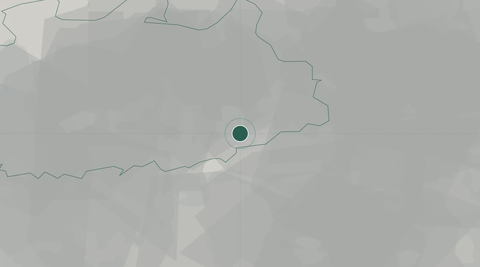
Location
Nearby Logistics Neighbours
Cities
- 1Eindhout2 km
- 2Oosterlo4 km
- 3Meerhout5 km
- 4Tessenderlo7 km
- 5Kwaadmechelen8 km
Airports
- 1Kleine Brogel Air Base32 km
- 2Antwerp International Airport (Deurne)40 km
- 3Beauvechain Air Base43 km
- 4Kempen Airport Budel44 km
- 5Brussels Airport44 km
Trade Zones
- 1Rheinische Revier SWZ98 km
- 2Freeport of Duisburg115 km
- 3ZFU Maubeuge, Louvroil122 km
- 4ZFU Condé sur lEscaut124 km
- 5ZFU Tourcoing138 km
DatabookThe Record of Consolidated Knowledge
Belgium beyond logistics?