UN/LOCODE hub · Belgium
BERAR
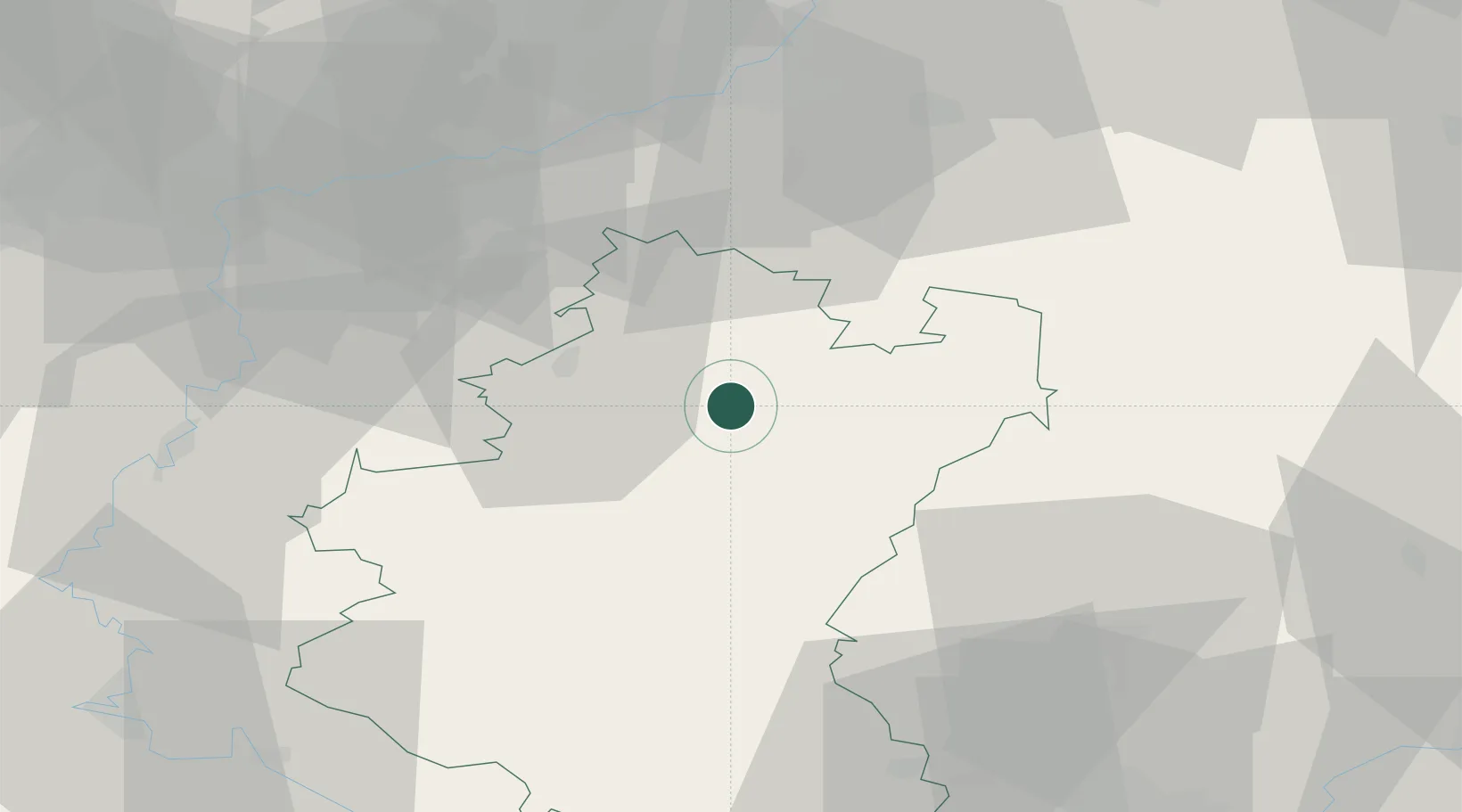
La Roche-en-Ardenne
50.1833°, 5.5833°
4,200
Population
2
Transport functions
Transport Functions
Port
Road
Hub Profile
Place type
Populated place
Region
Wallonia
Population
4,200
Time zone
Europe/Brussels
Elevation
225 m
Location
Nearby Logistics Neighbours
Cities
- 1Eveux15 km
- 2Marloie19 km
- 3Baillonville21 km
- 4Trois-Ponts29 km
- 5Huldange30 km
Airports
Trade Zones
- 1Luxembourg Free Port76 km
- 2ZFU Ronde Couture79 km
- 3Rheinische Revier SWZ98 km
- 4ZFU Maubeuge, Louvroil118 km
- 5ZFU Woippy-Metz122 km
DatabookThe Record of Consolidated Knowledge
Belgium beyond logistics?