Transport Functions
Multimodal
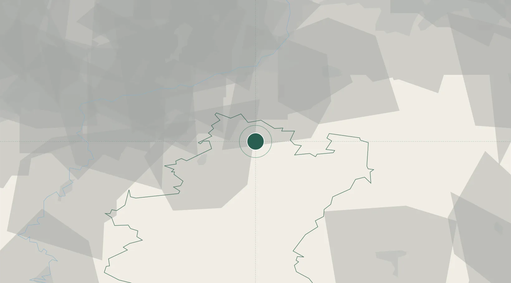
Hub Profile
Place type
Populated place
Region
Wallonia
Time zone
Europe/Brussels
Elevation
229 m
Location
Nearby Logistics Neighbours
Cities
- 1La Roche-en-Ardenne15 km
- 2Baillonville17 km
- 3Purnode20 km
- 4Seny20 km
- 5Trois-Ponts22 km
Airports
- 1Liège Airport37 km
- 2Florennes Air Base66 km
- 3Maastricht Aachen Airport68 km
- 4Beauvechain Air Base75 km
- 5Geilenkirchen Air Base79 km
Trade Zones
- 1Rheinische Revier SWZ87 km
- 2ZFU Ronde Couture88 km
- 3Luxembourg Free Port89 km
- 4ZFU Maubeuge, Louvroil116 km
- 5ZFU Woippy-Metz136 km
DatabookThe Record of Consolidated Knowledge
Belgium beyond logistics?