Transport Functions
Port
Multimodal
Hub Profile
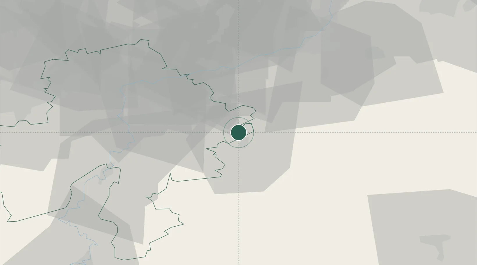
Place type
Populated place
Region
Wallonia
Population
574
Time zone
Europe/Brussels
Elevation
198 m
Location
Nearby Logistics Neighbours
Cities
- 1Marloie11 km
- 2Eveux17 km
- 3Natoye20 km
- 4Seny21 km
- 5La Roche-en-Ardenne21 km
Airports
Trade Zones
- 1ZFU Ronde Couture74 km
- 2Luxembourg Free Port96 km
- 3ZFU Maubeuge, Louvroil100 km
- 4Rheinische Revier SWZ102 km
- 5ZFU Condé sur lEscaut126 km
DatabookThe Record of Consolidated Knowledge
Belgium beyond logistics?