Transport Functions
Rail
Road
Hub Profile
Place type
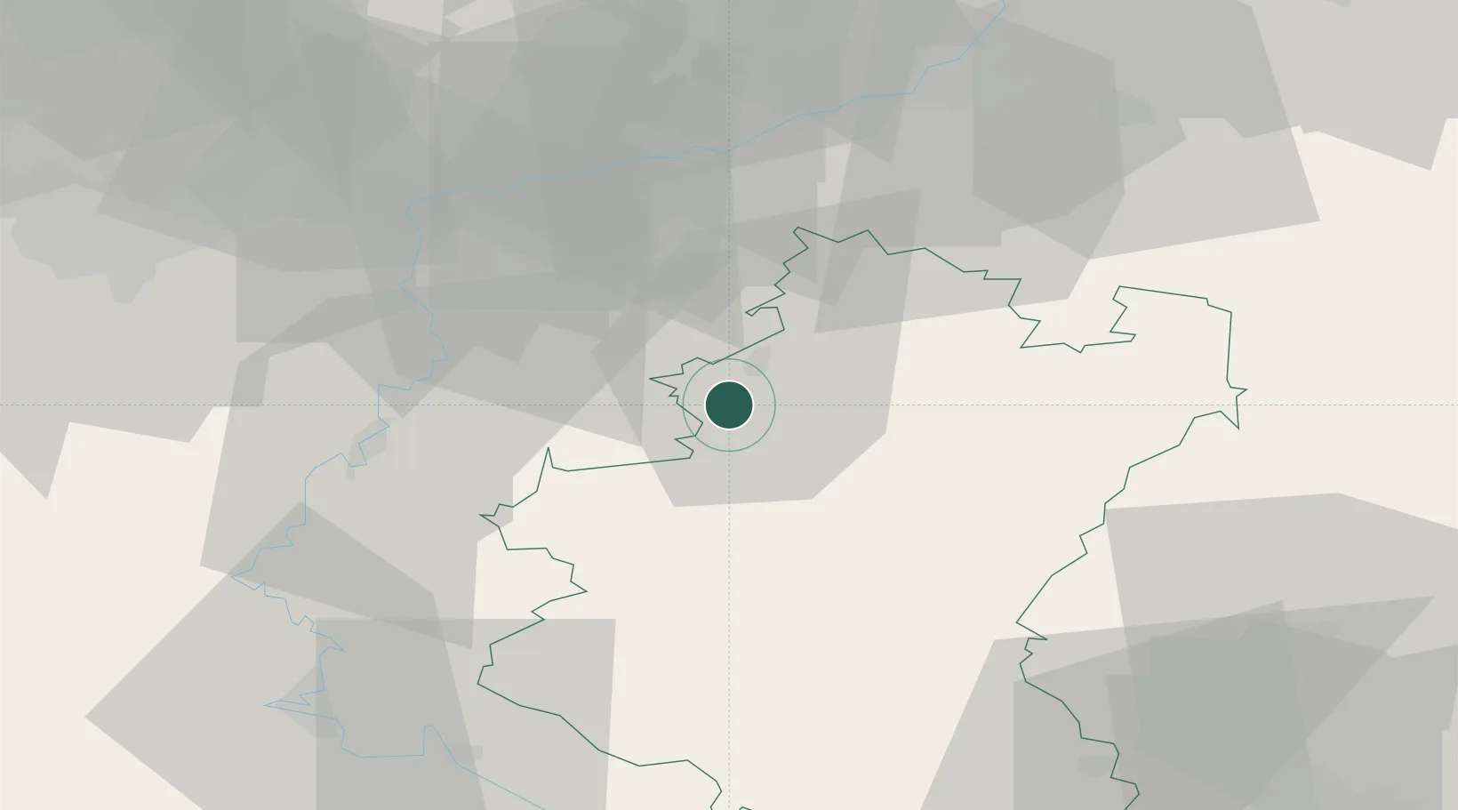
Populated place
Region
Wallonia
Time zone
Europe/Brussels
Elevation
282 m
Location
Nearby Logistics Neighbours
Cities
- 1Baillonville11 km
- 2La Roche-en-Ardenne19 km
- 3Eveux23 km
- 4Natoye24 km
- 5Neffe29 km
Airports
Trade Zones
- 1ZFU Ronde Couture65 km
- 2Luxembourg Free Port89 km
- 3ZFU Maubeuge, Louvroil99 km
- 4Rheinische Revier SWZ110 km
- 5ZFU Condé sur lEscaut128 km
DatabookThe Record of Consolidated Knowledge
Belgium beyond logistics?