Transport Functions
Port
Road
Hub Profile
Place type
Populated place
Region
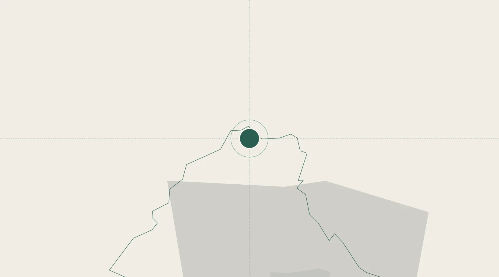
Clervaux
Population
476
Time zone
Europe/Luxembourg
Elevation
519 m
Location
Nearby Logistics Neighbours
Cities
- 1Wemperhardt4 km
- 2Lentzweiler10 km
- 3Knaphoscheid17 km
- 4Doncols24 km
- 5Pronsfeld24 km
Airports
- 1Spangdahlem Air Base54 km
- 2Luxembourg-Findel International Airport60 km
- 3Liège Airport67 km
- 4Büchel Air Base76 km
- 5Maastricht Aachen Airport86 km
Trade Zones
- 1Luxembourg Free Port59 km
- 2Rheinische Revier SWZ89 km
- 3ZFU Ronde Couture102 km
- 4ZFU Woippy-Metz112 km
- 5ZFU Metz117 km
DatabookThe Record of Consolidated Knowledge
Luxembourg beyond logistics?