Large airport · Luxembourg

Luxembourg-Findel International AirportELLX
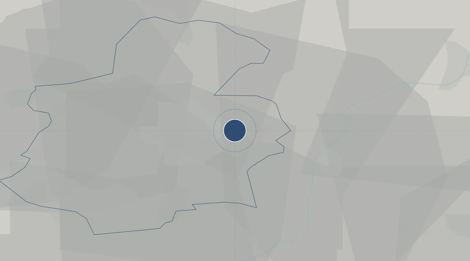
49.6268°, 6.2121°
13,123 ft
Longest runway
1
Runways
1,234 ft
Elevation

Runway & Layout

Luxembourg-Findel International Airport runway & taxiway layout
Runway & taxiway layout — OpenStreetMap (ODbL) / OurAirports

Radio Frequencies

ATIS
134.755 MHz
TWR
118.105 MHz
Luxembourg Tower
APP
120.885 MHz
Luxembourg Approach
VDF
118.105 MHz
Homer
OurAirports

Navaids

ELU NDB Luxembourg 369 kHz
LUX VOR-DME Luxembourg 112.25 MHz
WLU NDB Luxembourg 346 kHz
OurAirports

Runways · 1

RunwayDimensions SurfaceTrue headingLit
06/24 13,123 × 148ft ASPHALT 057°
OurAirports

Airport Specifications

IATA code
LUX
OurAirports
ICAO code
ELLX
OurAirports
Airport class
Large airport
OurAirports
Scheduled service
Yes
OurAirports
Runway surface
ASPHALT
OurAirports
Served city
Luxembourg
OurAirports

Location

Location of ELLX
Natural Earth 10m (public domain) · Luxembourg · ELLX · 49.63, 6.21GoogleOSMYandex

Nearby Logistics Neighbours

Airports
  1. 1Spangdahlem Air Base52 km
  2. 2Lieutenant Étienne Mantoux Air Base59 km
  3. 3Metz-Nancy-Lorraine Airport72 km
  4. 4Verdun-Le Rozelier Airfield78 km
  5. 5Saarbrücken Airport80 km
Nearest neighbours — logibook spatial index (haversine) over the source coordinates
Cities
  1. 1Findel1 km
  2. 2Münsbach4 km
  3. 3Oetrange6 km
  4. 4Dommeldange6 km
  5. 5Moutfort6 km
Nearest neighbours — logibook spatial index (haversine) over the source coordinates
Ports
  1. 1Bruxelles191 km
  2. 2Antwerpen219 km
  3. 3Ghent238 km
  4. 4Terneuzen256 km
  5. 5Hansweert256 km
Nearest neighbours — logibook spatial index (haversine) over the source coordinates
Trade Zones
  1. 1Luxembourg Free Port2 km
  2. 2ZFU Woippy-Metz53 km
  3. 3ZFU Metz58 km
  4. 4ZFU La Cité Behren-lès-Forbach73 km
  5. 5ZFU Maxéville, Laxou, et de Nancy102 km
Nearest neighbours — logibook spatial index (haversine) over the source coordinates
DatabookThe Record of Consolidated Knowledge
Luxembourg beyond logistics?
Browse databook

All Sources

AirportsOurAirports
Public domain
Portsthe NGA World Port Index
Public domain (US gov)
LocationsUN/LOCODE
UN/LOCODE — free
Trade Zonesthe World Bank SEZ database
CC BY 4.0
Trade ZonesOpen Zone Map
CC BY
InfrastructureOpenStreetMap
ODbL 1.0
← Luxembourg airports