Transport Functions
Rail
Road
Hub Profile
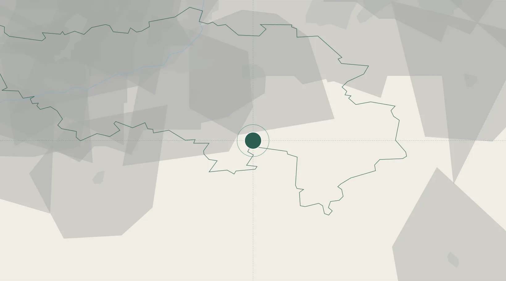
Place type
Populated place
Region
Wallonia
Population
2,533
Time zone
Europe/Brussels
Elevation
253 m
Location
Nearby Logistics Neighbours
Airports
- 1Liège Airport43 km
- 2Maastricht Aachen Airport61 km
- 3Geilenkirchen Air Base67 km
- 4Spangdahlem Air Base73 km
- 5Nörvenich Air Base76 km
Trade Zones
- 1Rheinische Revier SWZ70 km
- 2Luxembourg Free Port85 km
- 3ZFU Ronde Couture107 km
- 4Freeport of Duisburg130 km
- 5ZFU Woippy-Metz137 km
DatabookThe Record of Consolidated Knowledge
Belgium beyond logistics?