Transport Functions
Multimodal
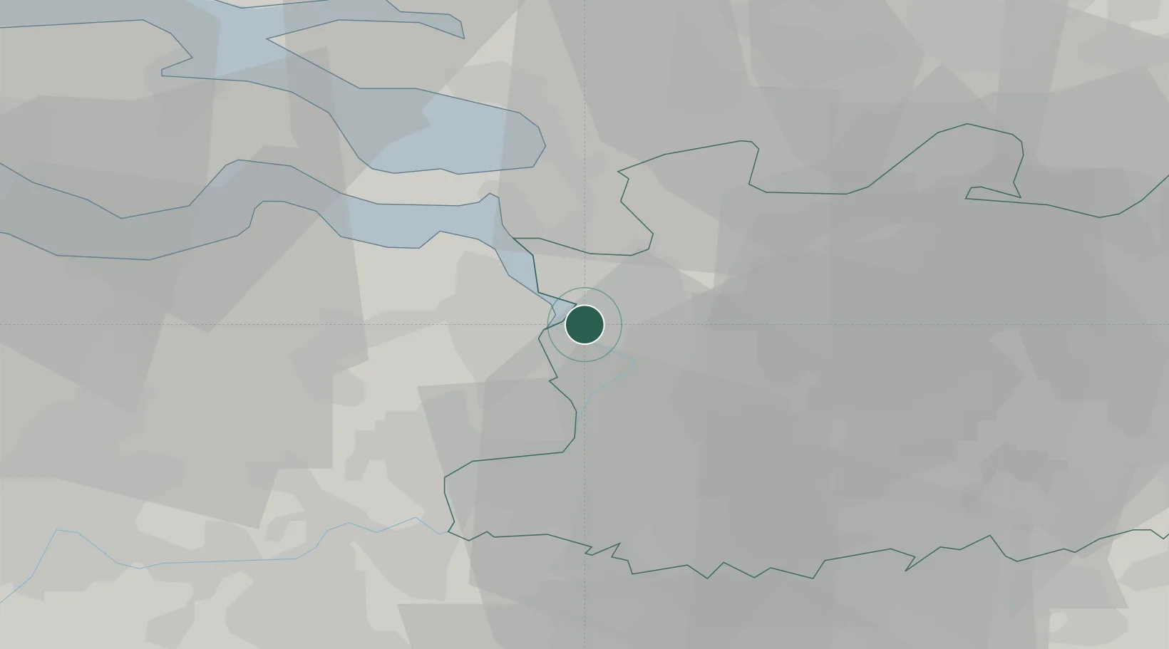
Hub Profile
Region
VAN
Logistics facilities
8
Location
Nearby Logistics Neighbours
Cities
- 1Antwerpen1 km
- 2Lillo4 km
- 3Pijp Tabak5 km
- 4Kallo5 km
- 5Ekeren5 km
Airports
- 1Antwerp International Airport (Deurne)13 km
- 2Woensdrecht Air Base20 km
- 3Brussels Airport43 km
- 4Gilze Rijen Air Base53 km
- 5Beauvechain Air Base65 km
Trade Zones
- 1ZFU Tourcoing103 km
- 2ZFU Condé sur lEscaut105 km
- 3ZFU Hem et Roubaix105 km
- 4ZFU Maubeuge, Louvroil116 km
- 5ZFU de Lille et de Loos117 km
DatabookThe Record of Consolidated Knowledge
Belgium beyond logistics?