UN/LOCODE hub · Belgium
BEGIL
Sint Gillis Waas
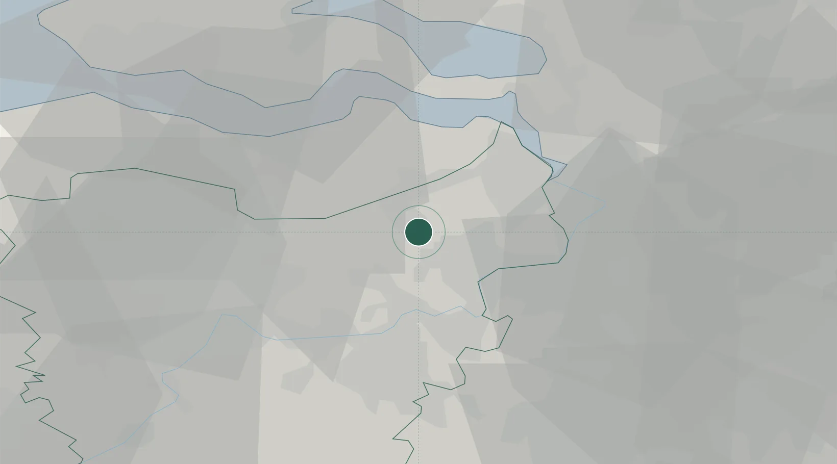
51.1833°, 4.0833°
17,658
Population
1
Transport functions
Transport Functions
Multimodal
Hub Profile
Place type
Populated place
Region
Flanders
Population
17,658
Time zone
Europe/Brussels
Elevation
5 m
Location
Nearby Logistics Neighbours
Cities
- 1De Klinge8 km
- 2Daknam9 km
- 3Eksaarde9 km
- 4Waasmunster9 km
- 5Tielrode10 km
Airports
- 1Antwerp International Airport (Deurne)27 km
- 2Woensdrecht Air Base35 km
- 3Brussels Airport42 km
- 4Beauvechain Air Base67 km
- 5Chièvres Air Base70 km
Trade Zones
- 1ZFU Tourcoing83 km
- 2ZFU Hem et Roubaix85 km
- 3ZFU Condé sur lEscaut87 km
- 4ZFU de Lille et de Loos97 km
- 5ZFU Maubeuge, Louvroil103 km
DatabookThe Record of Consolidated Knowledge
Belgium beyond logistics?