Transport Functions
Port
Road
Hub Profile
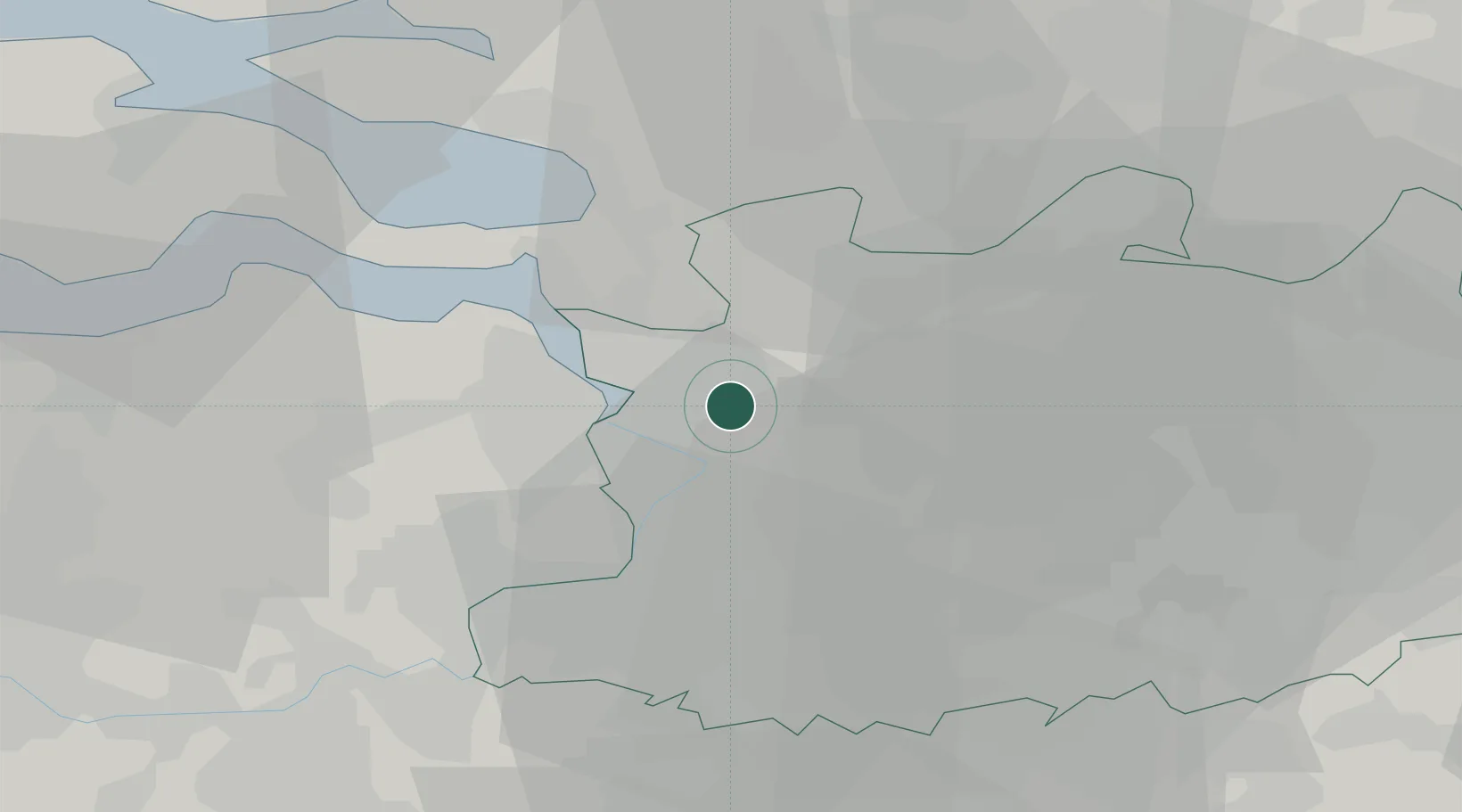
Place type
Populated place
Region
Flanders
Population
23,300
Time zone
Europe/Brussels
Elevation
3 m
Location
Nearby Logistics Neighbours
Cities
- 1Merksem4 km
- 2Antwerp Churchill Terminal5 km
- 3Antwerpen6 km
- 4Schoten7 km
- 5Pijp Tabak7 km
Airports
- 1Antwerp International Airport (Deurne)11 km
- 2Woensdrecht Air Base19 km
- 3Brussels Airport43 km
- 4Gilze Rijen Air Base48 km
- 5Beauvechain Air Base63 km
Trade Zones
- 1ZFU Tourcoing108 km
- 2ZFU Condé sur lEscaut108 km
- 3ZFU Hem et Roubaix110 km
- 4ZFU Maubeuge, Louvroil119 km
- 5ZFU de Lille et de Loos122 km
DatabookThe Record of Consolidated Knowledge
Belgium beyond logistics?