Transport Functions
Port
Road
Hub Profile
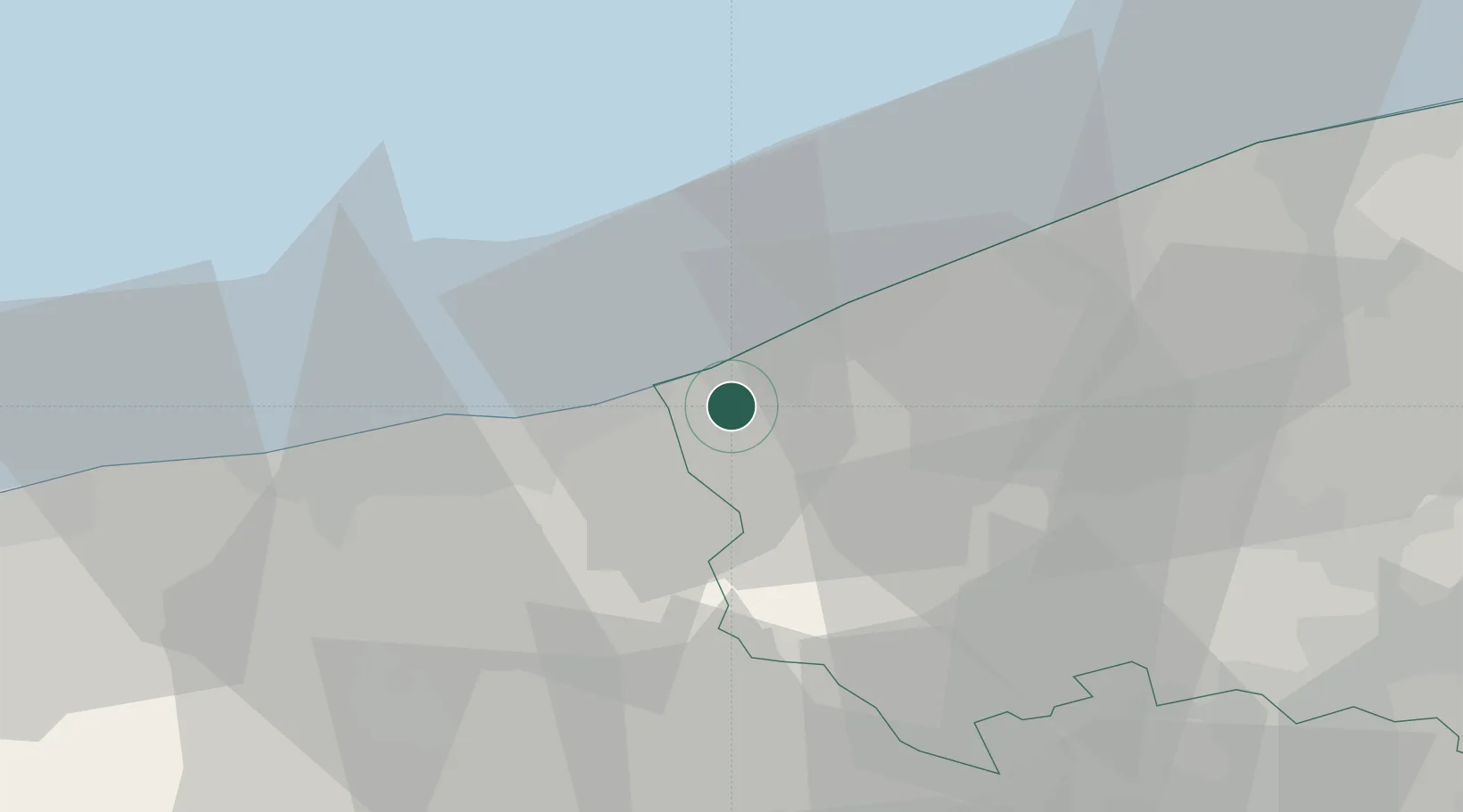
Place type
Populated place
Region
Flanders
Population
3,142
Time zone
Europe/Brussels
Elevation
3 m
Location
Nearby Logistics Neighbours
Cities
- 1Veurne5 km
- 2Wulpen8 km
- 3Leffrinckoucke10 km
- 4Fortem11 km
- 5Nieuwpoort13 km
Ports
- 1Nieuwpoort13 km
- 2Dunkerque Port Est18 km
- 3Oostende29 km
- 4Gravelines35 km
- 5Bruges47 km
Airports
Trade Zones
- 1ZFU Saint Pol sur Mer19 km
- 2ZFU Tourcoing55 km
- 3ZFU Calais55 km
- 4ZFU de Lille et de Loos56 km
- 5ZFU Hem et Roubaix58 km
DatabookThe Record of Consolidated Knowledge
Belgium beyond logistics?