Transport Functions
Port
Road
Hub Profile
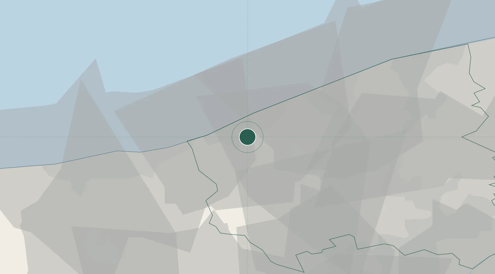
Place type
Populated place
Region
Flanders
Population
477
Time zone
Europe/Brussels
Elevation
1 m
Location
Nearby Logistics Neighbours
Cities
- 1Veurne4 km
- 2Nieuwpoort5 km
- 3Sint-Joris6 km
- 4Adinkerke8 km
- 5Fortem10 km
Ports
- 1Nieuwpoort5 km
- 2Oostende21 km
- 3Dunkerque Port Est25 km
- 4Bruges39 km
- 5Gravelines42 km
Airports
Trade Zones
- 1ZFU Saint Pol sur Mer27 km
- 2ZFU Tourcoing53 km
- 3ZFU Hem et Roubaix56 km
- 4ZFU de Lille et de Loos57 km
- 5ZFU Calais63 km
DatabookThe Record of Consolidated Knowledge
Belgium beyond logistics?