Transport Functions
Rail
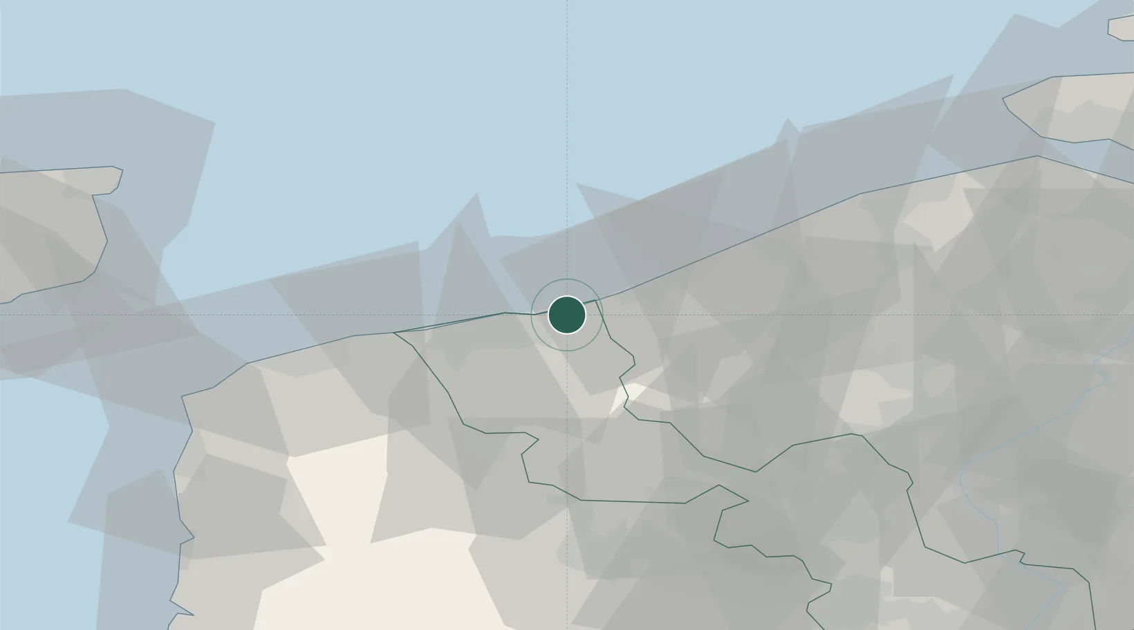
Hub Profile
Place type
Populated place
Region
Hauts-de-France
Population
5,095
Time zone
Europe/Paris
Elevation
2 m
Logistics facilities
1
Location
Nearby Logistics Neighbours
Cities
- 1Téteghem7 km
- 2Saint-Pol-sur-Mer8 km
- 3Cappelle-la-Grande10 km
- 4Adinkerke10 km
- 5Armbouts-Cappel11 km
Ports
- 1Dunkerque Port Est8 km
- 2Nieuwpoort22 km
- 3Gravelines25 km
- 4Oostende38 km
- 5Calais44 km
Airports
Trade Zones
- 1ZFU Saint Pol sur Mer9 km
- 2ZFU Calais45 km
- 3ZFU de Lille et de Loos61 km
- 4ZFU Tourcoing61 km
- 5ZFU Hem et Roubaix64 km
DatabookThe Record of Consolidated Knowledge
France beyond logistics?