Transport Functions
Port
Road
Hub Profile
Place type
Populated place
Region
Flanders
Time zone
Europe/Brussels
Elevation
2 m
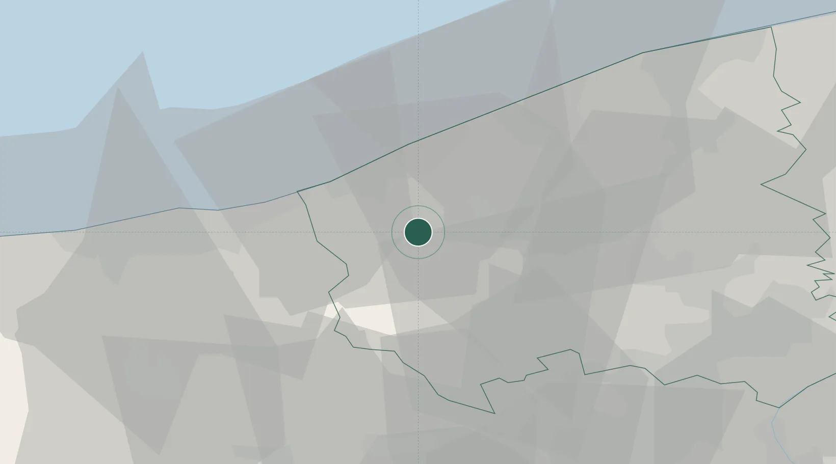
Location
Nearby Logistics Neighbours
Cities
- 1Pollinkhove6 km
- 2Sint-Jacobs-Kapelle6 km
- 3Kaaskerke7 km
- 4Veurne7 km
- 5Reninge8 km
Ports
- 1Nieuwpoort13 km
- 2Oostende27 km
- 3Dunkerque Port Est27 km
- 4Bruges42 km
- 5Gravelines43 km
Airports
Trade Zones
- 1ZFU Saint Pol sur Mer28 km
- 2ZFU Tourcoing44 km
- 3ZFU de Lille et de Loos47 km
- 4ZFU Hem et Roubaix48 km
- 5ZFU Calais63 km
DatabookThe Record of Consolidated Knowledge
Belgium beyond logistics?