Transport Functions
Port
Road
Hub Profile
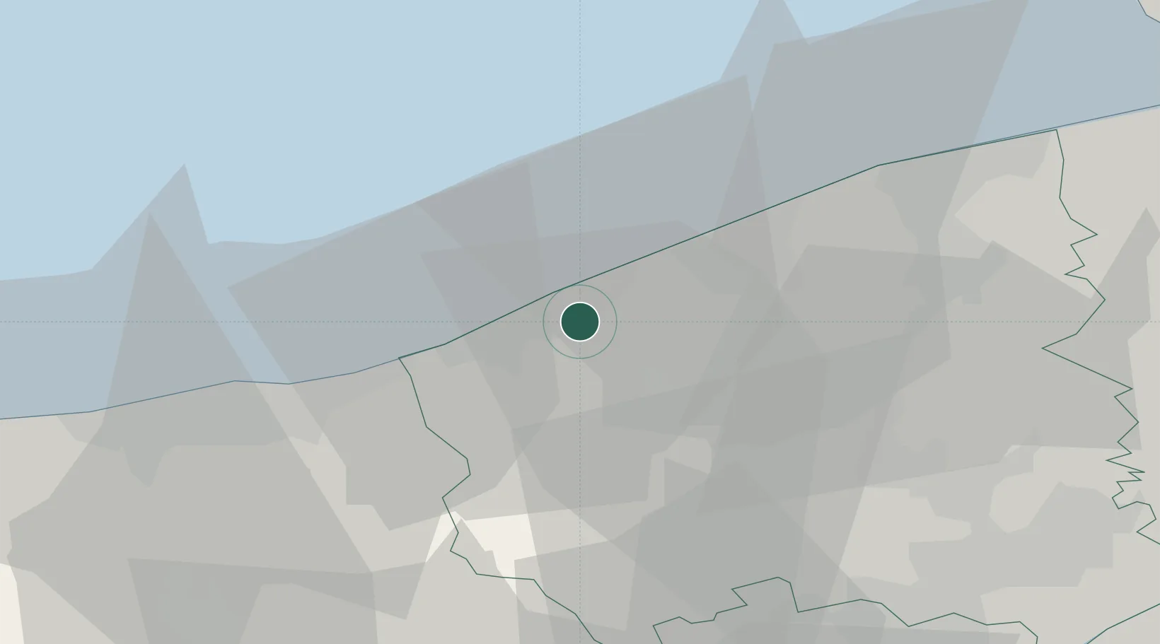
Place type
Populated place
Region
Flanders
Population
10,845
Time zone
Europe/Brussels
Elevation
9 m
Location
Nearby Logistics Neighbours
Cities
- 1Sint-Joris1 km
- 2Wulpen5 km
- 3Veurne9 km
- 4Leffinge10 km
- 5Kaaskerke13 km
Ports
- 1Oostende16 km
- 2Dunkerque Port Est29 km
- 3Bruges34 km
- 4Zeebrugge38 km
- 5Gravelines47 km
Airports
Trade Zones
- 1ZFU Saint Pol sur Mer31 km
- 2ZFU Tourcoing54 km
- 3ZFU Hem et Roubaix57 km
- 4ZFU de Lille et de Loos59 km
- 5ZFU Calais67 km
DatabookThe Record of Consolidated Knowledge
Belgium beyond logistics?